Petestack Blog

17 July 2018

While the van’s at the garage…

Filed under: Climbing,Walking — admin @ 9:54 pm

I took a walk up Beinn a’ Bheithir yesterday, linking the three main peaks by the scrambling routes of Sgorr Bhan’s ENE Ridge (aka the Schoolhouse Ridge) and Sgorr a’ Chaolais. It’s the first time I’ve descended by Sgorr a’ Chaolais (the so-called Dragon’s Tooth) although I’d done it in ascent twice before. The steep face of the big rounded pinnacle (taken this time in ascent, but normally a down-climb with abseil slings at the top) was quite intimidating on dank rock though I could have bailed down the slopes just above it, and I came down a narrow scree gully followed by much ground just awkward enough to be annoying to reach the track, but probably missed the best way there.

While I was technically on my way down in still-brightening conditions when I received a text from Lochside Garage to say the van (in for service and MOT) was ready, I still had the big pinnacle to climb and some way to go to get back for it.

8 July 2016

East Lochaber and Laggan Community Trust

Filed under: Climbing,Cycling,Kinlochleven,Running,Walking — admin @ 10:55 am

Something potentially huge for this area, so please try to get to one of the meetings, folks!

http://www.eastlochaberlaggan.scot/
https://www.facebook.com/Ellctrust/

From Andrew Baxter on Facebook:

Some really important meetings coming up next week to discuss how local residents can get involved in a bid for the community to own the Rio Tinto estates, so that the land is owned by the people who live here, not by a multinational company with remote shareholders.

The new East Lochaber and Laggan Community Trust has been set up in response to Rio Tinto Aluminium’s announcement that they would review the Lochaber smelter. The Trust is very keen to see the smelter continuing, if at all possible, and sees an opportunity to work with parties that might run the power stations in Kinlochleven and Fort William, and others that could operate the smelter and/or develop other employment options in the area.

The role of the community trust would be to own the estate, stretching from Kinlochleven across to Laggan. The Trust will be community led, appointing unpaid voluntary directors. We need to demonstrate widespread community support, so please come along to one of our meetings to find out more:

Monday 11th July 7 p.m. Inverlochy Village Hall
Tuesday 12th July 7 p.m. The Leven Centre, Kinlochleven
Wednesday 13th July 7 p.m Caol Community Centre
Wednesday 13th July 8 p.m Kilmallie Hall
Thursday 14th July 7 p.m. Spean Bridge Community Hall

Please share.

5 October 2015

Surprising solitude on Sron, Stob and Sgorr

Filed under: Climbing,Running — admin @ 10:20 pm

So I managed to go over a Glen Coe Munro and still meet no-one… on a Saturday! Then repeat the experience (if spotting a few walkers at distances beyond practical communication is still admissible?) on Beinn a’ Bheithir on the Sunday, bringing my run of ‘lonely’ days to ten. So perhaps it’s all in the timing? Or the routes? Who knows, but you’d have thought the combination of Munros, Glen Coe and the weekend meant sure-fire ‘company’ when it’s all been Corbetts and Grahams since my last on-hill encounters on the Mamores on 11 August…

So where do you go to avoid folk in or near Glen Coe? Apparently up Sron na Lairig, Stob Coire Sgreamhach and Beinn Fhada, or over Sgorr a’ Chaolais, Sgorr Dhonuill (which is where I came closest to human contact) and Creag Ghorm. And why? Because there are still (believe it or not!) local Corbett and Graham Tops to do as well as classic scrambles (like Sron na Lairig) I’d somehow not got round to for all these years, even if Saturday’s visit to that northern top of Beinn Fhada seems to be telling me I had at least done that particular top before!

2015-10-03map 2015-10-04map

While Sron na Lairig is better known as a fine winter route and turned out to be more straightforward than expected in summer, I thought it still a pleasant outing at about Grade 2 and doubt that anyone comfortable with the Aonach Eagach would be at all phased by it as a rock scramble. And, while I’ve always got time for the Lairig Eilde (pass of the hinds) as one of my favourite runs, it was given particular ‘character’ on this occasion by the constant roaring of the stags from an atmospherically misty Beinn Fhada and Buachaille Etive Beag!

2015-10-03sron-na-lairig-1 2015-10-03sron-na-lairig-2

2015-10-03beinn-fhada-1 2015-10-03buachaille-etive-beag

2015-10-03sron-na-lairig-3 2015-10-03sron-na-lairig-4

2015-10-03stob-coire-sgreamhach-bad-step 2015-10-03beinn-fhada-2

2015-10-03beinn-fhada-3 2015-10-03beinn-fhada-4

2015-10-03beinn-fhada-5

Now Creag Ghorm had been annoying me since this Graham Top essentially forming the west ‘wing’ of Beinn a’ Bheithir was just about the last thing you can see from the road round here I’d never been up and you can’t just pretend it’s not there as the obvious backdrop to every unavoidable lochside drive west. So I chose to traverse that west wing yesterday knowing I’d be looking at it yet again through different eyes on the way to work this morning, and naturally had to start via the kenspeckle spur of Sgorr a’ Chaolais (please, please, please not ‘The Dragon’s Tooth’!) as a nifty wee scramble I’d not repeated for a good 20 years. And my first impression of an entertaining ‘junior Aonach Eagach’ still seems apt, with just the one properly awkward downclimb (currently adorned by an abseil sling surely left for a winter traverse?) to negotiate the southern face of its prominent, rounded central pinnacle. Then over Sgorr Dhonuill and lovely running down to the Corbett Top with diversion to look into the top of Eas nam Meirleach, but Creag Ghorm really makes you work from there with convoluted twists, turns, ups and downs. Not to mention a descent that’s more awkward than it looks, with what I took for a clear break through the forest turning into a burn steeper and more slippy than I was prepared to descend and sending me stooping/crawling through 100 metres of scratchily dense growth to escape to a better line when locating the obvious northward ‘V’ of track retrospectively looks the best option there. But, hey, you can take off your top on the track to shake out all the itchy wee bits and it was still a good day!

2015-10-04gleann-a-chaolais 2015-10-04sgorr-a-chaolais-and-sgorr-dhonuill

2015-10-04sgorr-a-chaolais-2 2015-10-04sgorr-a-chaolais-3

2015-10-04sgorr-dhonuill 2015-10-04sgorr-a-chaolais-4

2015-10-04sgorr-a-chaolais-and-sgorr-dearg 2015-10-04back-of-beinn-a-bheithir

2015-10-04eas-nam-meirleach-1 2015-10-04eas-nam-meirleach-2

2015-10-04sgorr-a-chaolais-6 2015-10-04sgorr-a-chaolais-7

2015-10-04loch-leven 2015-10-04descent

17 May 2015

Balancing act

Filed under: Climbing,Cycling,Music,Running,Sailing,Walking,Work — admin @ 5:32 pm

Something I posted to Facebook a few hours ago that really deserves a more ‘permanent’ place here where anyone can read it. Facebook ‘friends’ can also read some nice responses over there. :-)

A strange tale of work/life balance, life/life balance, running, racing and depression…

As many of you know, 2015 was to be my last West Highland Way Race (with all the commitment that entails) before getting back to other things like fixing up the boat and doing more climbing. So I wanted to do well with 2014’s PW (personal worst) my main motivation for this final, final go. And my usual, slow-burning training build-up was starting to work with 22 modest running days on the trot through late January and early February before breaking the cycle for a windswept walking traverse of the Maoile Lunndaidh group and continuing more sporadically into March as frequently staying late to work with hitherto over-casual pupils started to mess with my routine and mind. At which point I found myself in the grip of a proper depressive episode (remember that ‘breaking point’ post?) as I saw no way of reconciling my work and play needs to provide the necessary platform for that satisfying final race and became angry knowing that the ‘prior’ claims of work would leave me forever feeling cheated here. But then my new boss told me I must run, to get home prompt one day and get straight out running, and we both agreed that running is the solution, not the problem (for which thank you, Rebecca!). After which I ran 40 from 46 days (proper runs!) through to that walking accident on the path to Carnmore and could have been looking at a respectable performance after all with a ‘big May’ to come. But now it’s all gone without killing off the Munros/Tops completion, I’ve been ambushed by a surprising sense of peace. In simultaneously really wanting and really not wanting to do that race again, it had *still* been getting me down, and it’s only now it’s gone *with work absolved from the blame* that something’s become clear; while running is still the solution (and will be again when the injury’s had some more recovery time), racing is part of the problem. Which is why there’s no going back on that ‘last year of running races’ thing despite the loss of the race that’s probably meant more to me than any other, and why you’ll *never* see me grace the starting line of that race again. It wasn’t just my work/life balance that was wrong but my life/life balance too, and the inexplicable accident that had me reduced to despair the night I did it has now proved to be the most effective depression cure yet!

If you got this far, well done, and thanks! :-)

19 April 2015

In Pinn revisited

Filed under: Climbing,Running,Walking — admin @ 11:52 pm

Last time I did the Inaccessible Pinnacle of Sgurr Dearg (with Noel Williams in October 2007) it was wet, windy and absolutely hairy enough to remain temporarily unmoved by the charms of its topping ‘Bolster Stone’ where my feet were never going to follow my hands on the day. But, despite guessing a significant proportion of satisfied recent ‘Munroists’ to have stood (or even sat?) no higher than the top of the pinnacle ‘proper’, I just couldn’t head for Slioch on 30 May without first topping this highest point left since the lightning strike of Spring 2007. So it was back with Noel again today in conditions as perfect as 2007’s were unpleasant to make good that niggling omission in cathartic style by soloing the long side to top of both Pinn and Bolster before abbing off the short side. And, with dry rock and calm air enhanced by splendid views (not quite captured by our photos) from Harris to Ben Nevis and quite probably beyond, you just couldn’t get it better… as good, for sure, but no way better!

Photos by Noel and me, with me wearing the white helmet, Noel the red, and the two showing just the Pinn by me…

2015-04-19inpinn1 2015-04-19inpinn2

2015-04-19inpinn3 2015-04-19inpinn4

2015-04-19inpinn5 2015-04-19inpinn6

2015-04-19inpinn7 2015-04-19inpinn8

2015-04-19inpinn9

But followers of this blog may also realise that I had one other strange little Cuillin omission to sort before Slioch in the shape of the minor Munro Top of Sgurr a’ Fionn Choire, so what of that?

Well, on Thursday (three days ago) I took another wee solo trip to Skye to deal with that, with a pleasant run in and out from Sligachan followed by clagged-in (even snowing gently!), slightly greasy ascent of Bruach na Frithe’s north-west ridge and snowy path along the main ridge to Sgurr a’ Fionn Choire finally clearing to a nice late afternoon on a rompingly good descent. So no ascent/ridge photos to show, but some from the way down…

2015-04-16descent1 2015-04-16descent2

2015-04-16descent3 2015-04-16descent4

2015-04-16marsco1 2015-04-16glamaig

2015-04-16marsco2 2015-04-16alltdearg

2015-04-16map

29 March 2015

Munros, Tops and ‘Munro-lite’

Filed under: Climbing,Running,Walking — admin @ 2:10 pm

A bit late in the day with just 12 of my 601 all-time Munro Tops left to do and Slioch waiting for 30 May but, prompted by Robin Campbell’s receipt of the Scottish Award for Excellence in Mountain Culture at last month’s Fort William Mountain Festival, I’ve finally bought and read The Munroist’s Companion. And predictably found much of interest there, not least (given the roots of my ‘purist’ approach in concerns with what’s listed in what category, or indeed at all) in David Purchase’s essay On the Classification of Mountains: a graphical approach, where he proposes well-considered objective criteria for distinguishing between Munros and Tops that would keep the list close to its current shape while removing all the obvious anomalies. So, while I’ve no time for inadequate web/media statements like ‘there are 282 mountains over 3,000ft in Scotland’ (contentious!) and still regard just the 282 (or 284, 276 or whatever it happens to be at the time) as ‘Munro-lite’, I might qualify that by suggesting that adding just Purchase’s nine remaining promotion candidates to a current ‘full-Munro-only’ round of 282 removes the worst of the ‘lite’. Do Glas Leathad Beag, the Affric Sgurr na Lapaich, Sail Mhor and Coinneach Mhor on Beinn Eighe, Stob na Doire on the big Buachaille, Cairn Lochan, Beinn Iutharn Bheag, Sgor Choinnich (Corrour Forest) and Creag Dubh (Mullardoch) and you’ve got a pretty good baseline for 291 ‘mountains’. Demote Carn Ghluasaid (which Purchase recommends but you can’t leave out so long as it’s still listed!) and you’ve got 290. All water off a duck’s back to me when I’m sticking to my 601, but surprising how little still needs changing to arrive at a decently objective list!

Might just add that I’m with Campbell on completion/compleation and expect to be completing (not compleating) on 30 May:

The use of Compleation strikes me as twee, or should be it be twea, and I have studiously avoided and expunged it in favour of completion.

His quote, my italics… very funny! :-)

13 December 2014

eTrex 20

Filed under: Climbing,Cycling,Running,Sailing,Walking — admin @ 8:36 pm

It’s not my first GPS device. I’ve got half a dozen now counting this new eTrex, two running watches (Forerunner 305 and 310XT), a nüvi 1390T for driving, a chart plotter on the boat and an old 8-channel GPS 45XL (which was my first), but most were bought for different purposes and only that old 45XL is truly superfluous now.

So why another GPS for the hill when map and compass works? And map and compass backed up by GPS grid refs (which I can get from the Forerunner 310XT) also works? Because map and compass backed up by mapping GPS or mapping GPS backed up by map and compass are quite simply slicker options. Until just under four years ago, I navigated the hills almost exclusively by map and (when necessary) compass. Then, after moving from a non-OS-grid-enabled GPS watch (Forerunner 305) to one that could give an OS grid ref (Forerunner 310XT), I added that to my armoury. But the 310XT’s still not primarily a navigating device, I like to keep moving in the hills (especially when dressed/equipped for running rather than walking/climbing) and find that stopping to transfer grid refs to map tends to interrupt my flow when doing so. So, just as I’ve moved from 1. just compasses, Breton plotters and paper charts for coastal navigation through 2. transferring lat and long from simple GPS to paper chart to 3. GPS chart plotter, I’ve found myself wanting a mapping GPS for the hill. And this new eTrex is light, compact, map-capable and relatively inexpensive with excellent battery life to boot. Not, retrospectively, the very ‘best’ deal on offer when I’ve since seen the likes of the GPSMAP 62s with complete GB Discoverer 1:50K (almost map + free GPS!) for what I paid for eTrex 20 and downloadable 1:50K Scotland, but then I didn’t want a GPSMAP 62s anyway (bigger, heavier) even if it might be ‘better’ in some ways!

So how does it perform? Judging from one local test run today, absolutely fine. It sits comfortably in the hand with accessible, glove-operable controls and the transreflective screen, while possibly brighter in summer conditions, is still adequately readable in December ‘daylight’. It can also be squeezed into the lower front pockets of my UD Fastpack 20 (which just wouldn’t take a beefier model), though I’m not sure they’d be my first choice storage when I’ve been using one for my keys and the other for my thumb compass so far. And I managed to fit a lanyard of decent weight (trainer shoelace) to the built-in lanyard eye though it took some considerable fiddling to get it through. My only real gripe concerns my downloadable map from Garmin at £119.99, which turns out to be tied to the device when a pre-programmed Micro SD at the same £119.99 wouldn’t be. But what’s done is done, and it’s probably a largely academic distinction when you’d lose your non-tied card anyway if you lost the device and I’ve no plans to purchase any more compatible devices in the near future…

2014-12-13etrex

15 September 2014

Northern Pinnacles

Filed under: Climbing,Running — admin @ 10:25 pm

Meall Dearg and the Northern Pinnacles of Liathach have been calling me ever since I first set eyes on them on a conventional east-west traverse of Liathach 29 years ago. But now I really needed Meall Dearg with the Munro/Top quest not complete without this ‘most difficult top’ (to quote Irvine Butterfield’s somewhat debatable description), so thought I’d go take a look yesterday…

2014-09-14topo 2014-09-14pinnacles

It’s a compelling line, sensibly described by Iain Thow in Highland Scrambles North as ‘a serious and exposed route’ and meriting a climbing grade (Moderate) rather than scrambling equivalent. Iain’s ‘direct’ route starts near the foot of an impressive, but grotty-looking, buttress (extreme right of first photo) rising to the east of Loch Coire na Caime, and here I found his description a little vague in approaching from the Coire Mhic Nobuil/Beinn Eighe path, but think I found the right ‘left-slanting weakness’, which he does warn you is ‘harder than it looks’ and I can only describe to non-connoisseurs of mixed grass, heather, earth and rock as both truly vile and a wee bit scary. But things improve rapidly as the buttress becomes a fine ridge leading to Meall Dearg, though I’d already given myself quite a handicap in getting there by pulling a large block (say 20 x 16 x 5 inches) I shouldn’t have touched off a ledge not far above the vile weakness (note that this route is serious as much for loose/shattered rock at all levels as its significant exposure) and somehow mashed my fingers deflecting it over my shoulder instead of into my chest! And then you have the stunning summit of Meall Dearg, with scant room for the tiniest of cairns and looking quite sensationally steep in retrospect from above, followed by the Northern Pinnacles (which Iain describes very well) themselves with much borderline scrambling/climbing ground culminating in a couple of properly thought-provoking moves up the slab and wall that form the direct finish to the fourth pinnacle. Which now brings you easily to the summit of Mullach an Rathain, with a pleasant west-east traverse of the main ridge (where I’d rate the Fasarinen pinnacles in dry summer conditions as a little easier and certainly less continuously committing than the Aonach Eagach) to take you back to the logical start/finish point at the car park at the foot of the Beinn Eighe path. A superlative day out on the mountain described with at least partial justification by W.A. Poucher as ‘the mightiest and most imposing in all Britain’, with the Northern Pinnacles (being as technical and consequential as much of the Cuillin ridge) just the icing on the cake for those with the requisite experience.

2014-09-14mealldeargfromthirdpinnacle 2014-09-14mealldeargfromtop

So what of the mashed fingers? Well, they’d become a weeping ball of fire by this morning, with the third finger (which clearly took the brunt of it) now quite puffed up, still weeping, bruising on the other side and unable to bend, but not significantly more crooked/twisted than normal since they all starting getting arthritic a few years back. And, while it didn’t stop me finishing the traverse or driving home from Torridon, I’m not going to pretend it doesn’t hurt!

2014-09-14hand1 2014-09-14hand2

2014-09-15hand1 2014-09-15hand2

23 July 2014

The Thirty-Nine Steps

Filed under: Climbing,Running,Walking — admin @ 12:34 pm

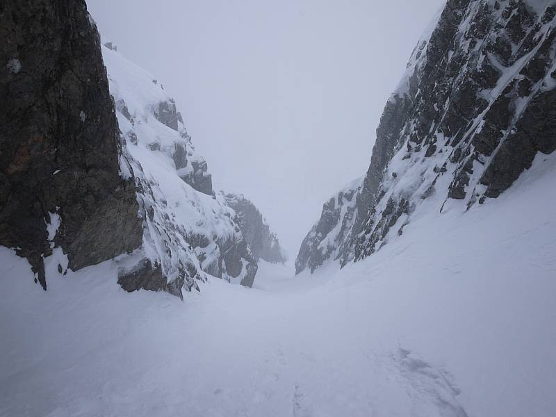
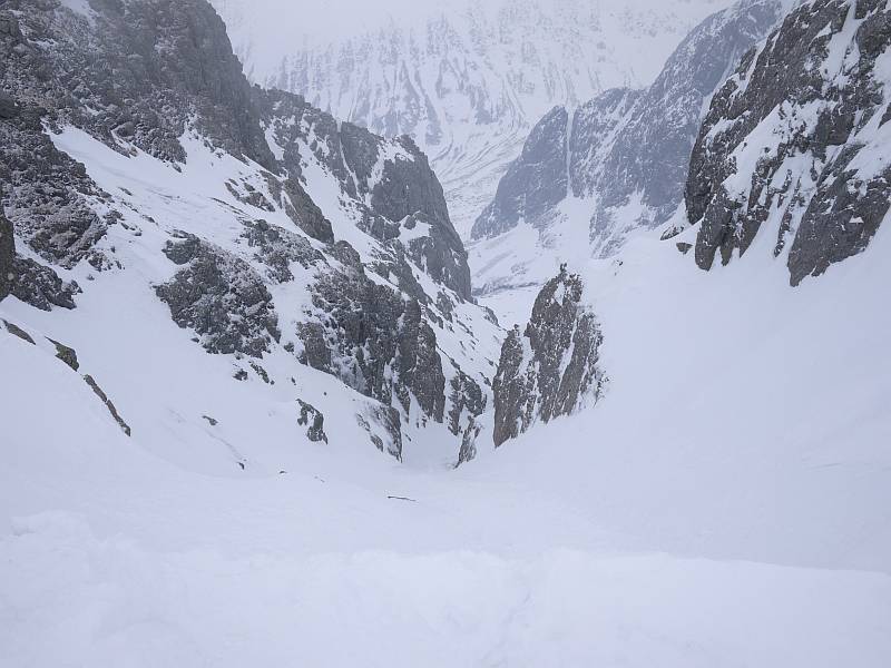
Totted up my Munros after Monday’s not-exactly-Cluanie Horseshoe and came to 243, which means (discounting the Tops and Deletions I won’t finish without) I have 39 full Ms to go. So what an excuse for a silly blog title, and here (after a Facebook dry run) we go…

2014-07-23thirtynine

Nae ‘Munro-Lite’ here, with this lot (not forgetting associated Tops and Deletions) set to give me everything that’s been in Munro’s Tables! So 39 of 282 Munros to go, or approximately 80 of 600 (?) recorded ‘summits’, with about 20 hill days looking necessary to mop up the remaining main peaks + missed odds and ends (see A–G below).

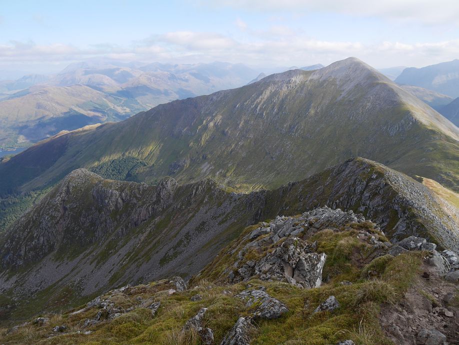
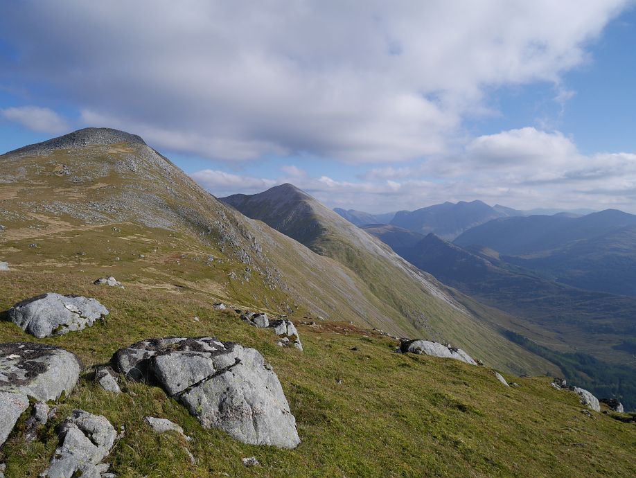
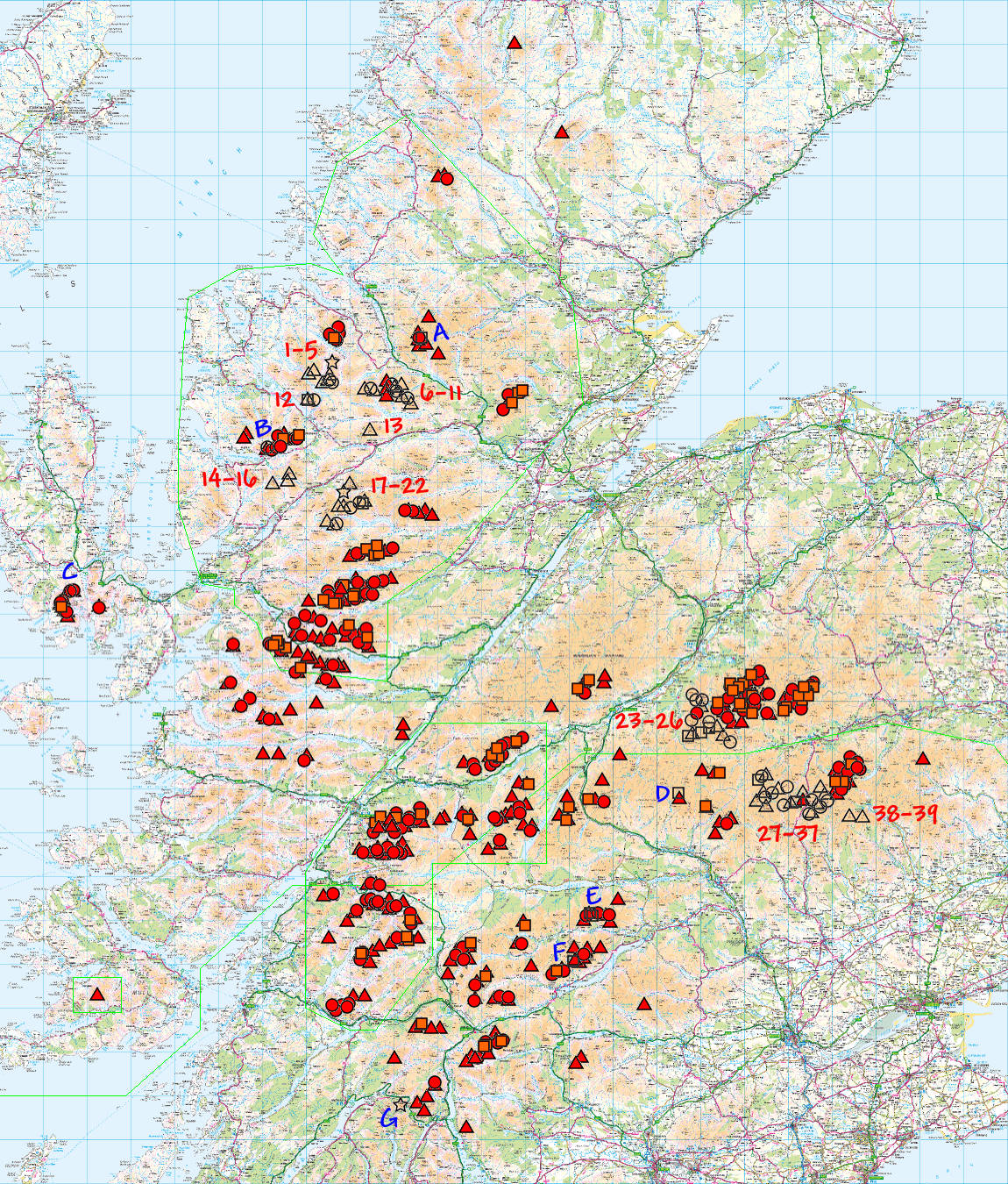
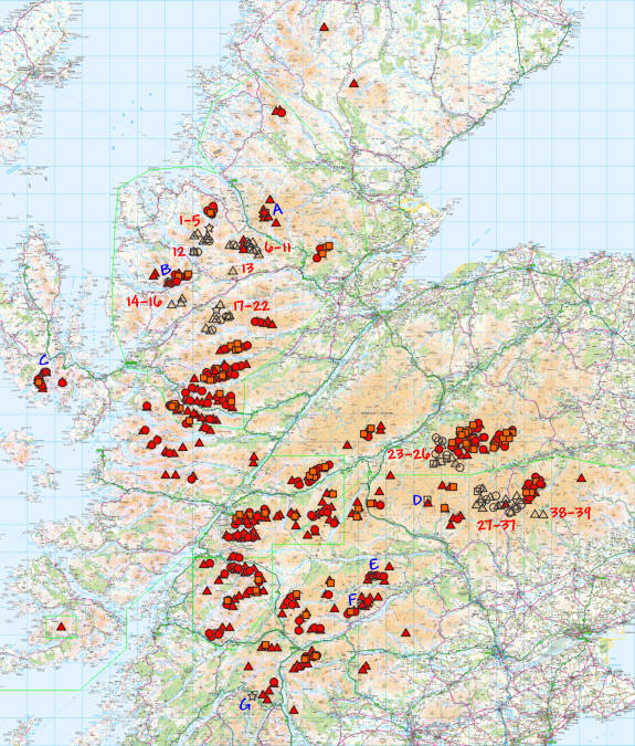
Listed North to South and not (still evolving) target order:

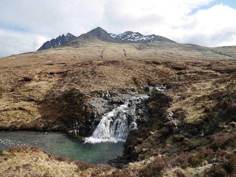
1–5 Fisherfield Six (five + demoted Beinn a’ Chlaidheimh!)
6–11 Fannichs
12 Slioch (saving for last!)
13 Fionn Bheinn
14–16 Beinn Liath Mhor, Sgorr Ruadh, Maol Chean-Dearg
17–22 Moruisg, Maoile Lunndaidh, Sgurr a’ Chaorachain, Sgurr Choinnich, Lurg Mhor, Bidean a’ Choire Sheasgaich (+ demoted Sgurr nan Ceannaichean!)
23–26 Sgor Gaoith, Mullach Clach a’ Bhlair, Monadh Mor, Beinn Bhrotain
27–37 Glenshee
38–39 Mayar, Driesh

A Ceann Garbh (old position): deleted position of Top I missed because I guessed at (and went to) something else without it marked on my map (have already got Ceann Garbh as marked now)
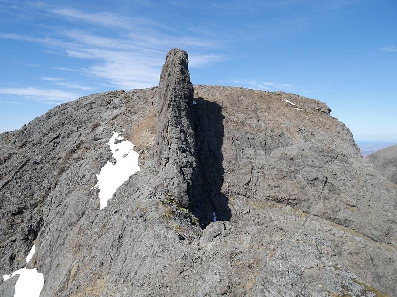
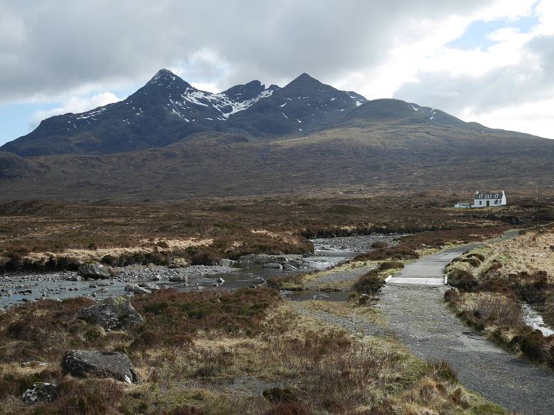
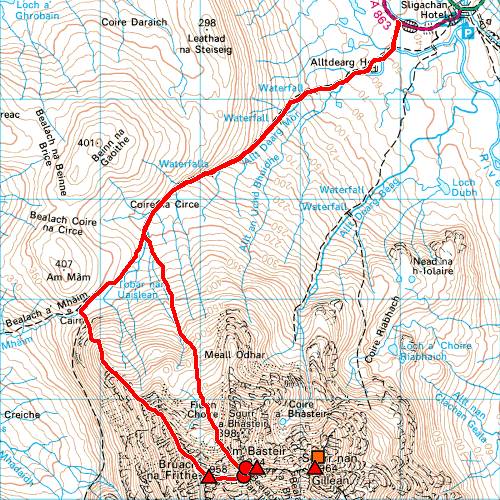
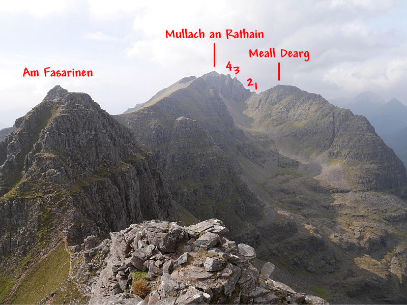
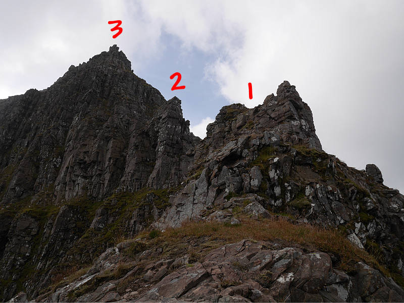
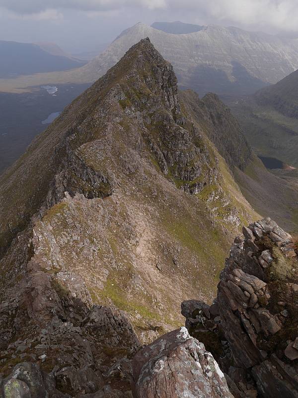
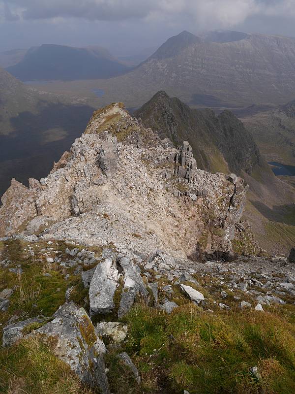
B Meall Dearg (Northern Pinnacles of Liathach)
C Sgurr a’ Fionn Choire (eastern Top of Bruach na Frithe)
D Beinn Gharbh (deleted Top of ‘Ring of Tarf’ Beinn Dearg missed because I didn’t know I wanted it!)
E Deleted old grid reference for Meall Garbh (Carn Mairg group) + Meall Luaidhe (deleted Top)
F Sron dha-Murchdi (deleted Top of Meall Corranaich… can be picked up same day as E above)
G Beinn an Lochain (long demoted to Corbett)

For anyone who’s not yet sussed out my peak symbols, they’re Triangle = Munro (filled red when done), Circle = Top (red), Square = Deletion (orange) and Star = Corbett (which takes a yellow fill and here means sub-3,000ft ex-Munro). But afraid you’ll never see them all on a map at the scale above (not even clicking through for the ‘full-size’ version, which will just give you a clearer view of the same thing), with the Munros frequently buried under jumbles of Tops and Deletions and no obvious way to arrange a Memory-Map overlay in prioritised layers. (Think exporting as .csv, reordering and reimporting might just work, but never tried it… and it’s just not an issue when zooming in for planning or printing at 1:50,000 etc. to use!)

[Edit: 16 August 2015… yes, it’s possible, but the only ‘clean’ method I’ve found is to export the separate categories as .mmo files, delete all overlays, close Memory-Map, reopen, then import the categorised .mmo overlays ‘bottom-up’ so the first imported forms the bottom layer and last imported forms the top.]

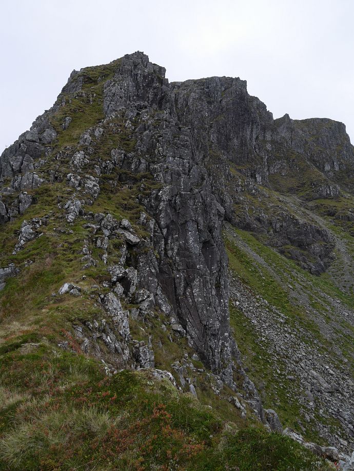
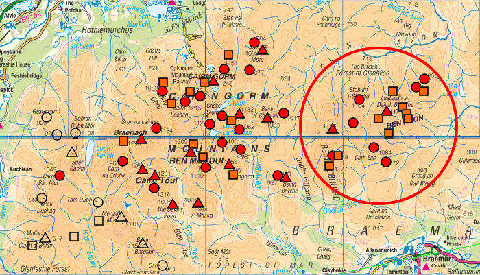
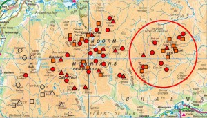
Now, I’ve little doubt that I’d have finished my Munros long ago if just targeting the 282 (or the 284 there’d still have been had that been my aim), but there’ll be no caving in when not even Ben Avon’s four Tops, seven Deletions and 20 miles of wandering to its single Munro could break my resolve. So that’s just the kind of thing you have to deal with if you’re me… 18 full Munros in the whole of the Cairngorms, but 18 summits (just two of them Munros) between Ben Avon and Beinn a’ Bhuird alone! By no means the only example of ‘straggly Top syndrome’ but easily the most glaring, though the likes of the Carn Eige/Mam Sodhail/Ceathreamhnan massif (eight Ms, eighteen Ts, six Ds), The Saddle (one M, three Ts, four Ds), An Teallach (two Ms, seven Ts, one D), Ben Wyvis (one M, three Ts, three Ds) and the Gorms as a whole (just look at all those circles and squares!) are also pretty good. And there’s precious little on any of those (perhaps just the odd Gormlet?) I didn’t think worthwhile…

2014-07-23cairngorms

So c.20 days left to completely ‘compleat’, and I could be finished this summer but for late July and August already being pretty well assigned to other things. But we’re still getting into ‘endgame’ territory here, and (with the analysis above to spur me on) perhaps it doesn’t have to be so very much longer!

10 April 2013

Up Two down Four

Filed under: Climbing — admin @ 6:48 pm

As a good-looking, deeply-recessed line (described by the guidebook as ‘the finest of the easy gullies on the mountain’), Number Two Gully (II) on Ben Nevis had long been on my wishlist for a solo day out and I finally got to do it today, with my descent by Number Four (I) inspiring a blog title with a nod to Dougal Haston’s immortal ‘Hut [was] full of steadfast English muttering earnestly, up Three down Four, up Two down Five, and other Nevis Gully permutations’. But first, in a nod to my own ‘unpacked’ packed jacket the other day, I’d better admit that I spotted that flaming jacket still hanging on a hook by the door as I put my kit in the van this morning, picked it up, locked the door, had to unlock it again to get my watch, locked it again, drove off, then realised half a mile later that I’d (genuinely!) forgotten my boots…

2013-04-10two 2013-04-10four

So the day might have started with some kind of comeuppance for Friday’s farce, but at least I didn’t arrive at Torlundy with just my sandals to climb in! It was a pretty quiet day on the Ben, with just five vehicles in the North Face car park when I left it at 8:20am and a similar number (maybe four?) in the top car park when I passed some 25 minutes later, but I did pass a couple of walkers there, spotting another pair somewhere above the CIC Hut and yet another (!) apparently heading for Number Three. Given the SAIS forecast (‘Areas of unstable windslab will remain on mainly West to North aspects above 1000 metres’), I wasn’t surprised to find some soft, fresh slab leading into my almost-north-facing climb (more west-facing routes like Italian Climb and Glover’s Chimney looked pretty snowy!) and, despite being satisfied that most of what I met was quite shallow and not heavily loaded, was glad to reach clearer, icier ground at the narrows. After which the top-out was almost an anti-climax, being less steep than expected with a nice diagonal slot through the cornice, and the (still thoroughly worthwhile) climb as a whole probably rating soft II/stiff I on the day.

2013-04-10twoabove 2013-04-10twobelow

No sooner had I topped out, however, than things really clagged in, with compass necessary even to locate the line of substantially buried descent cairns from quite close quarters, and a party of four (German/Scandinavian?) walkers I met ascending with no axes, crampons or possibly anything else causing some concern just as I turned through a hole in the clag for a look at Number Four. Which was far too inviting to leave, being in very amenable condition (as easy as you’ll find it?) with signs of copious traffic, none of the fresh slab I’d encountered further round (it’s a much more easterly aspect) and just a bit of a runnel high up hinting at a previous small slide. I passed two lads on their way up, also catching sight of a curiously slow pair heading towards the start of Raeburn’s Easy Route (which looked quite ‘snowy’ in its northerly aspect) and another pair just disappearing up Ledge Route as I got closer to the CIC. And that’s really about it, save to say that (of the other routes I could see) Comb Gully and the Cascade looked good, Green’s probably OK, Vanishing might still be hanging on, but The Curtain’s well gone.

2013-04-10twocornice 2013-04-10fourcairn1

2013-04-10fourcairn2 2013-04-10fourcornice

Older Posts »

Blog powered by WordPress. Feedback to webmaster@petestack.com.