


I’ve been out on better days but, if you must go when the forecast says ‘thick cloud’…
Having recently spent two nights on Fly in anchorages from where you can hear the Glensanda super-quarry and discussed it on another (non-solo) sail down that way since, I was keen to get a look into this humungous hole in the hills. So I impatiently chose the worst day possible, but at least got most of what I went for, which was a Graham, a Graham Top and (not quite as successful here) that view into the quarry. Oh yes, and wet feet… very wet feet!
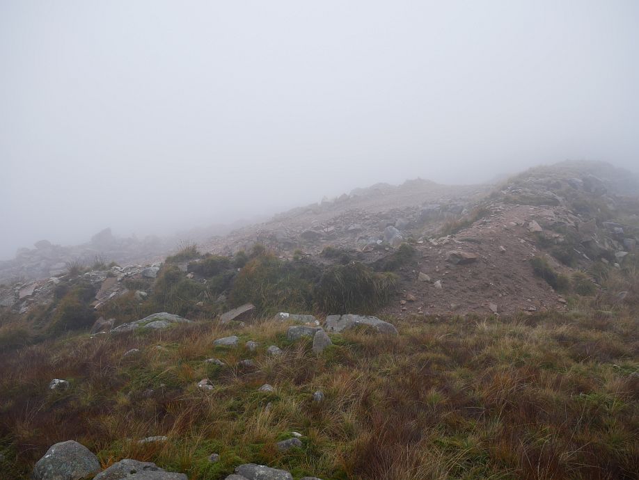
This was an anticlockwise round. The SMC Grahams and Donalds book talks about a stalkers’ path off Meall an Doire Dhuibh I failed to locate, but noticed back at sea level there’s now a whacking great track down Coire Reidh! My descent from the nose of the ridge to the final wee lochan, while not particularly steep, was frustratingly awkward lumpy ground full of hidden foot-trapping holes:
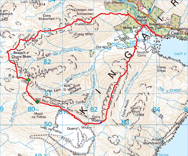
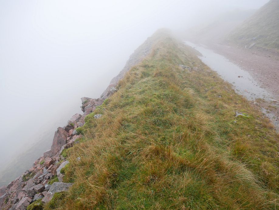
Trudging round hills I still don’t feel like I’ve seen in conditions where I couldn’t see much further than my nose, the noise from the quarry struck me as I hit the top of Beinn Mheadhoin and continued for some two-and-a-quarter miles before fading surprisingly quickly as I turned north for Meall an Doire Dhuibh. There’s a falling-down old fence with ‘danger’ signs along the ridge above the quarry, but this viewpoint about halfway along seems to positively invite you through the fence to take the track. Well, they didn’t put it there for the workers, did they?
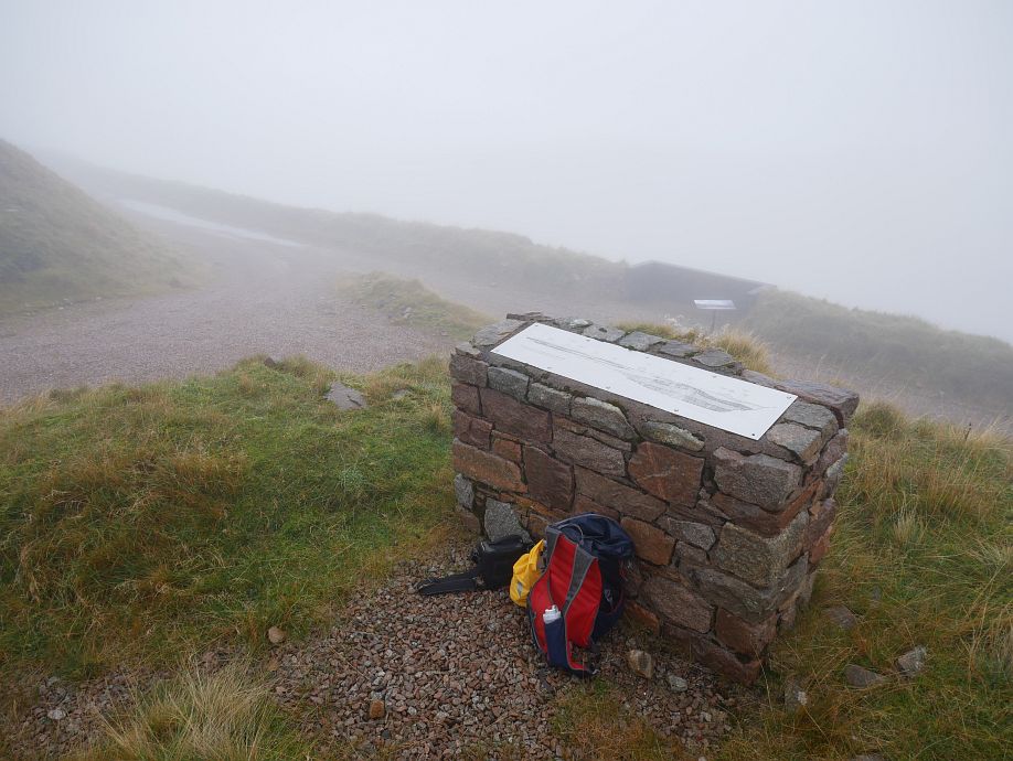
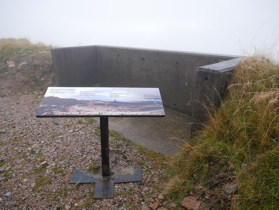
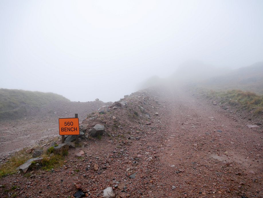
And I doubt this board just below is for the benefit of the workers either!
The top terrace back face (wall?) with track above. The track is quite safe, but the terrace faces are steep:
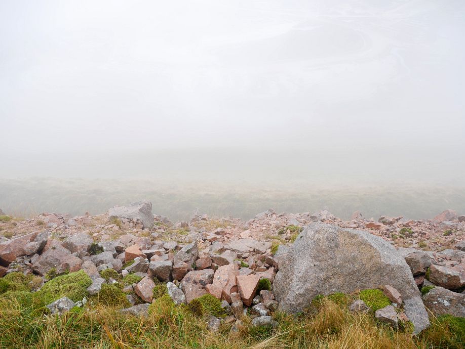
Some detail of quarry floor just about visible top right here through the temporarily clearing cloud:
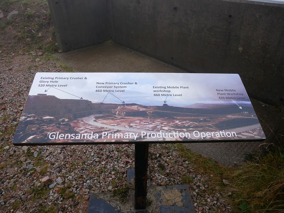
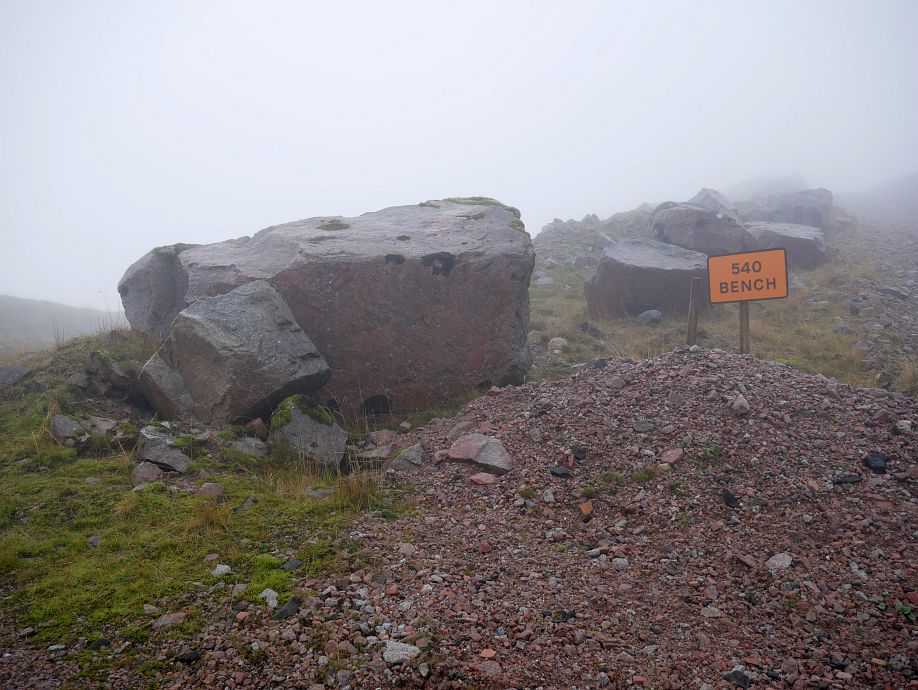
These signs are not surprisingly at 560 and 540 metres:
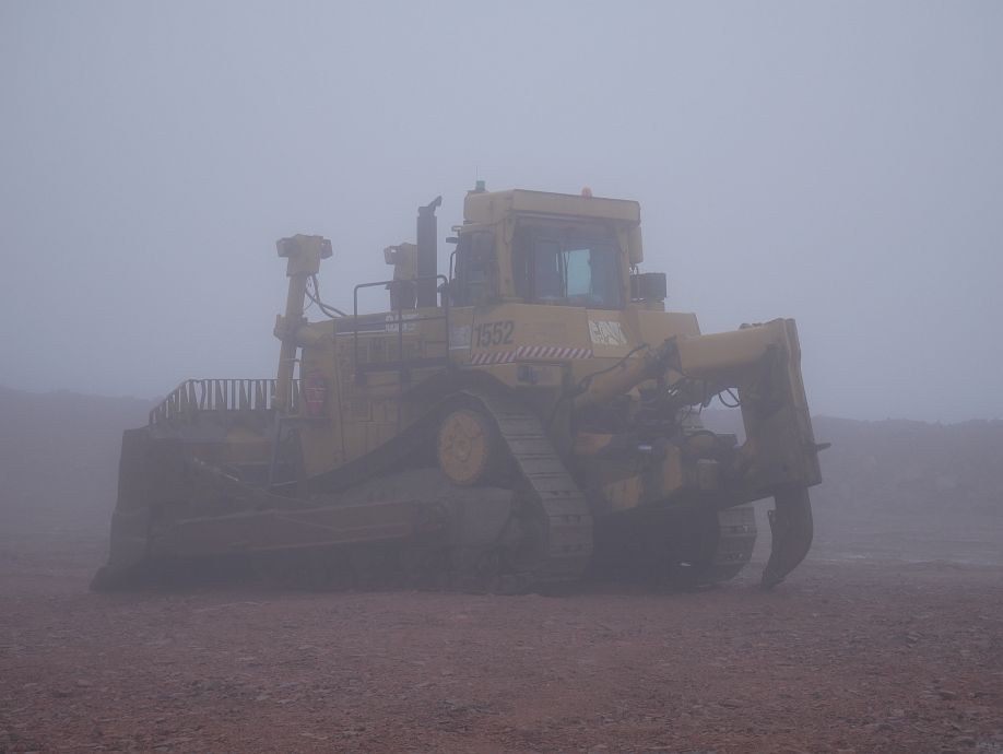
For some strange reason this great machine lost in a desert wasteland reminded me of Star Wars (yes, the original, seen years before it was episode anything!):
And here’s the top north-east corner of the quarry (which has spread beyond the mapped area), marked by the blue dot on my map as I turned for Meall an Doire Dhuibh:
This upper extension of the quarry is well shown by the satellite photo at https://www.scottish-places.info/features/featuremap18859.html and, for a clearer (if more dated) view than any of mine, there’s an impressively zoomable photo at https://canmore.org.uk/collection/1262055. While I’d like to go back for a better look and will probably repeat the whole round sometime, I’d also noted that unmarked track up Coire Reidh as a possible way to get up there quickly (or final descent route) before I’d even reached the car. While you might feel a bit like a spy in a film up there with your camera, shooting from the quarry boundary or top track with viewpoint seems fair game when they haven’t left much of a ridge behind it!