


It was Dave who, reading about my Appin paddle with Amanda, suggested the Round Eriska trip from Port Appin which he’d also previously done as ‘excellent, needing skill and cunning with tides.’ So of course I was intrigued, took a look (or two) and replied:
I’m looking at this again now because of course I want to do it, and can see three major factors:
- Tide of up to 4 knots at entrance to Loch Creran, so a complete stopper if going the wrong way.
- Tide of up to 2.5 knots at north end of Lynn of Lorn, so effectively as bad at springs but possibly fightable at neaps.
- Height necessary to float through that channel [An Doirlinn south of Eriska], where the chart’s not much help and Google’s not telling me any more so far.
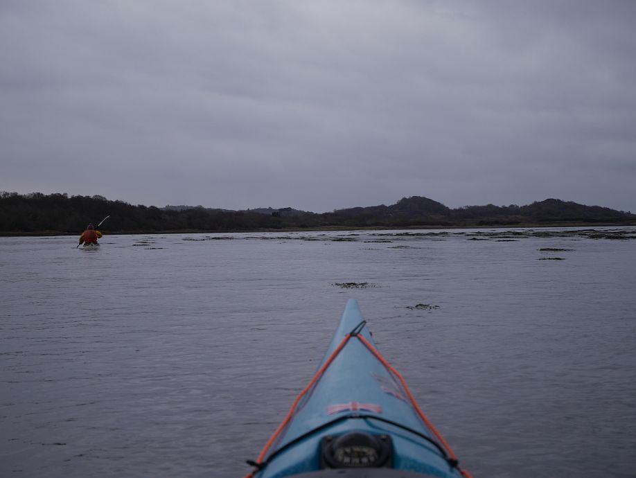
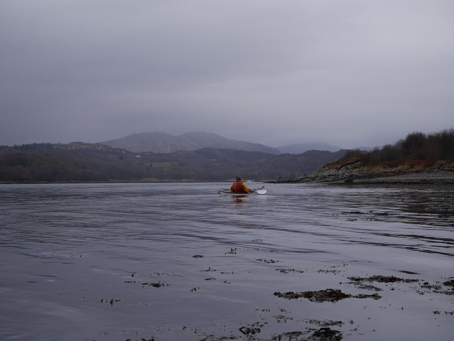
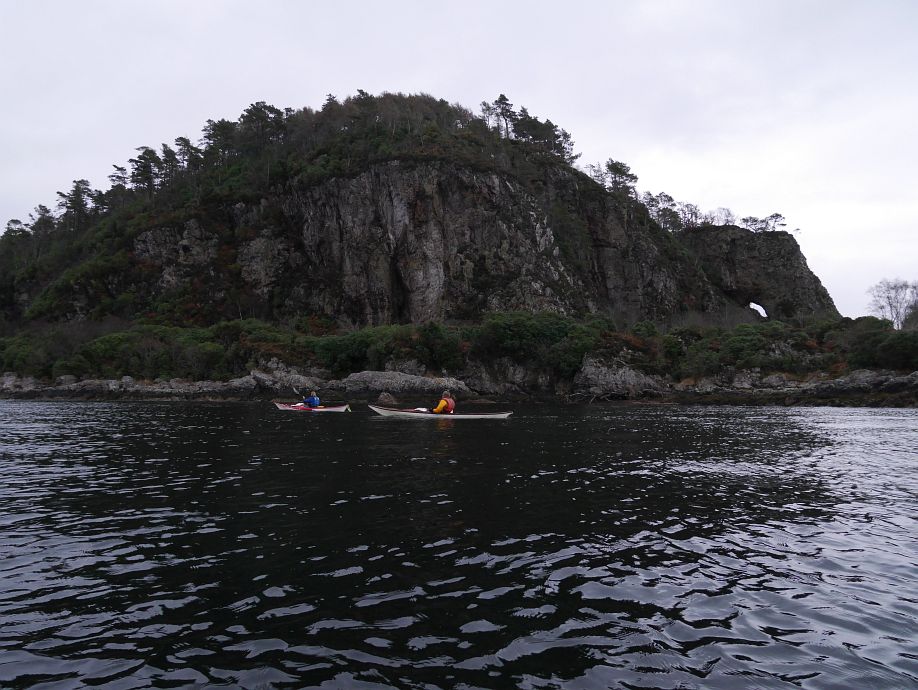
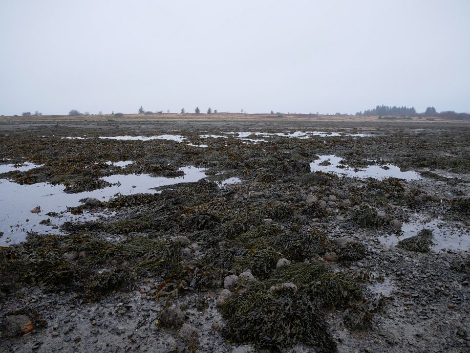
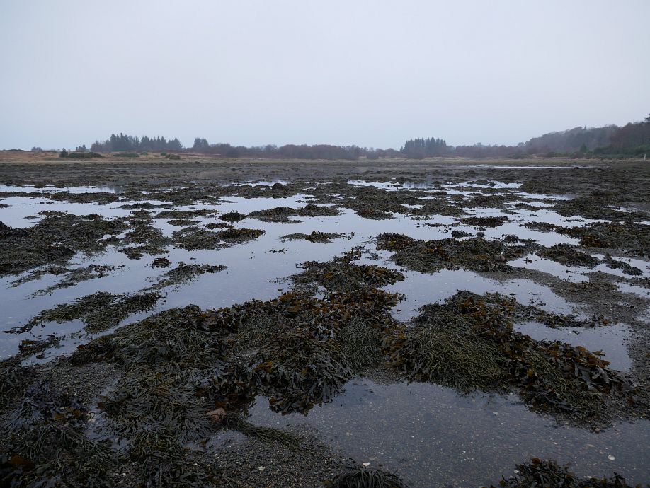
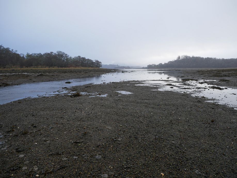
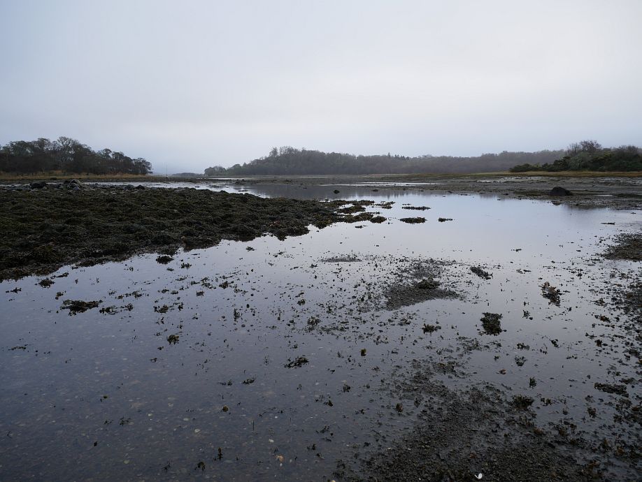
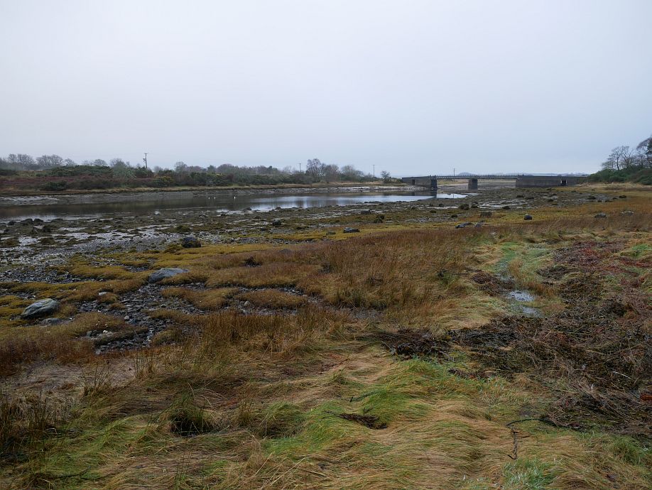
Some further discussion established that, yes, he’d ridden the flood tide into Loch Creran, didn’t know if it flowed strongly through An Doirlinn (which had maybe a foot of water at the time) and carried the flood back to Port Appin. The bit I’d not got instantly was cheating the tide down the shore for the first wee bit from Port Appin to the point (Rubha Clach Tholl) north of Airds Bay, but it all made perfect sense as soon as I did. It should also be possible to circumnavigate Eriska anticlockwise on the ebb starting/finishing at South Shian, but the extra spice of the clockwise trip from Port Appin appealed and that’s what Amanda, Dave and I did yesterday. I’ll come back to how much water you actually need for An Doirlinn later, but let’s start with our actual track:
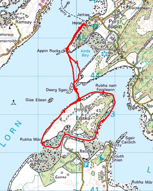
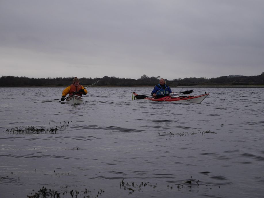
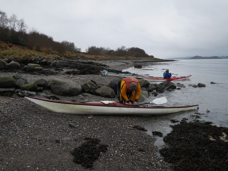
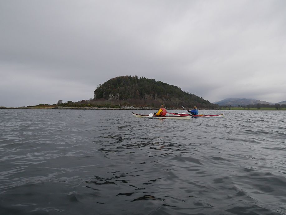
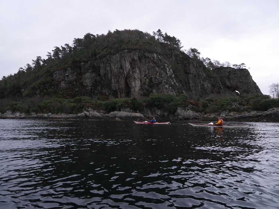
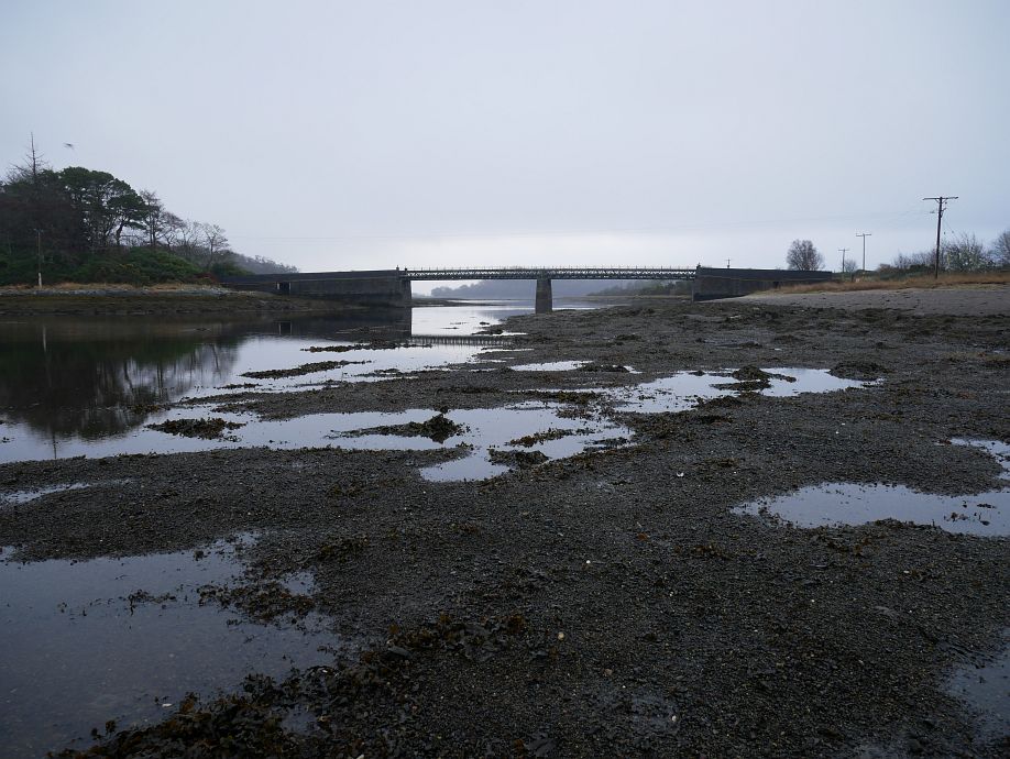
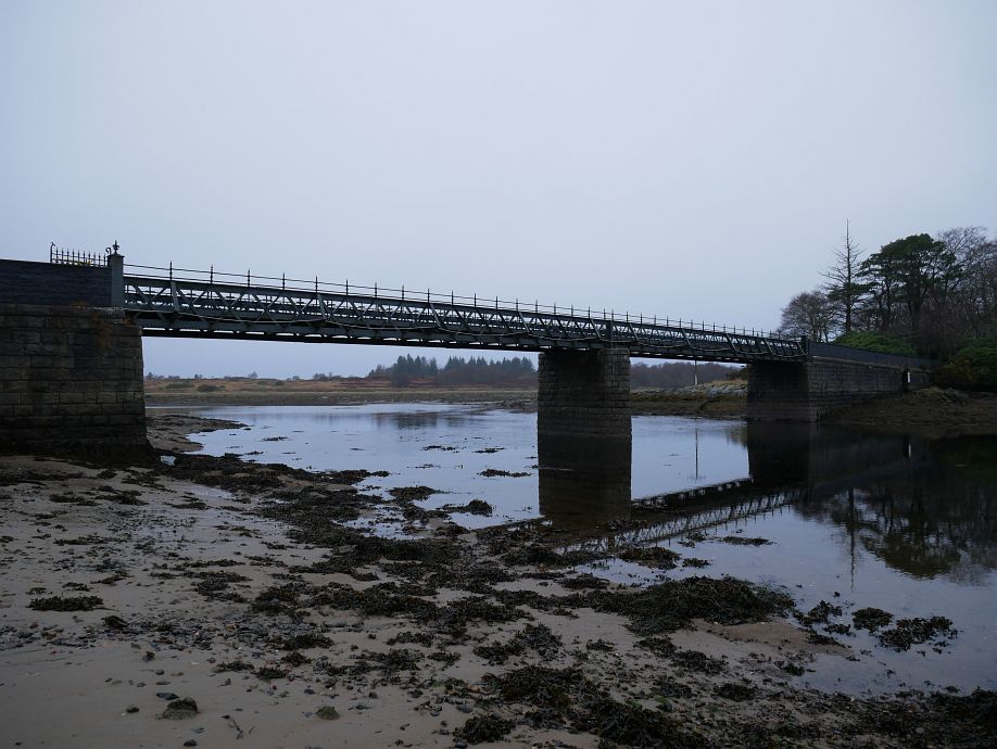
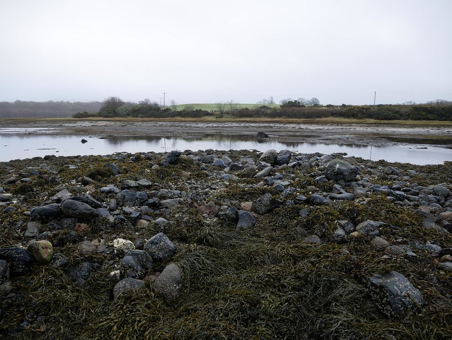
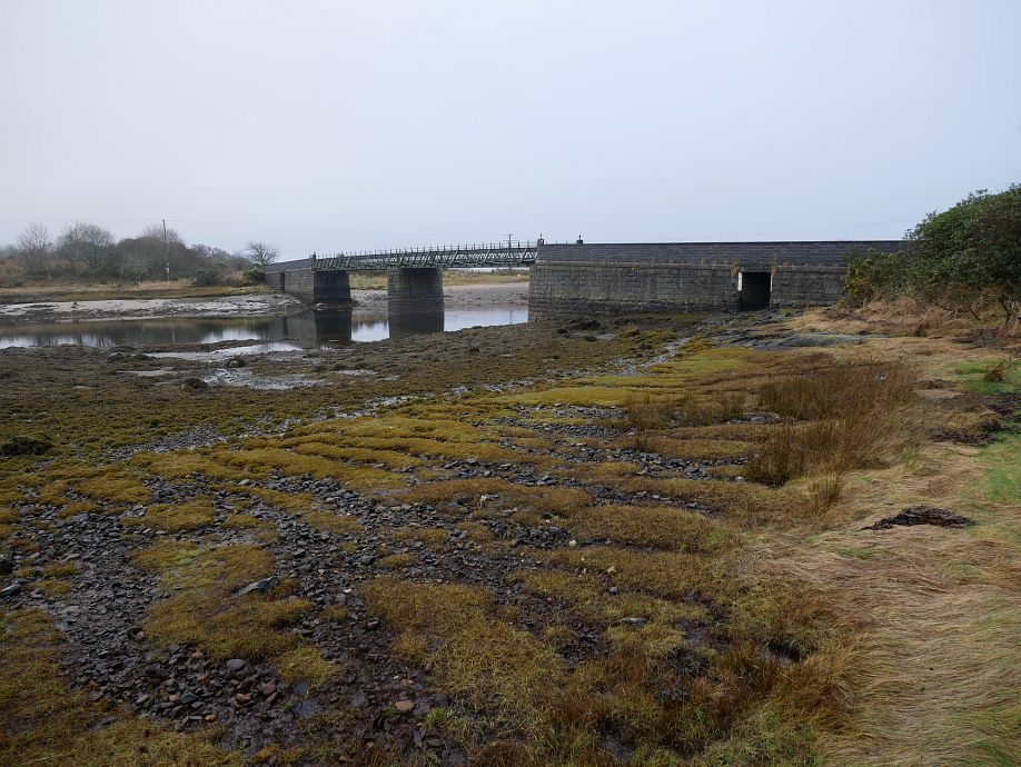
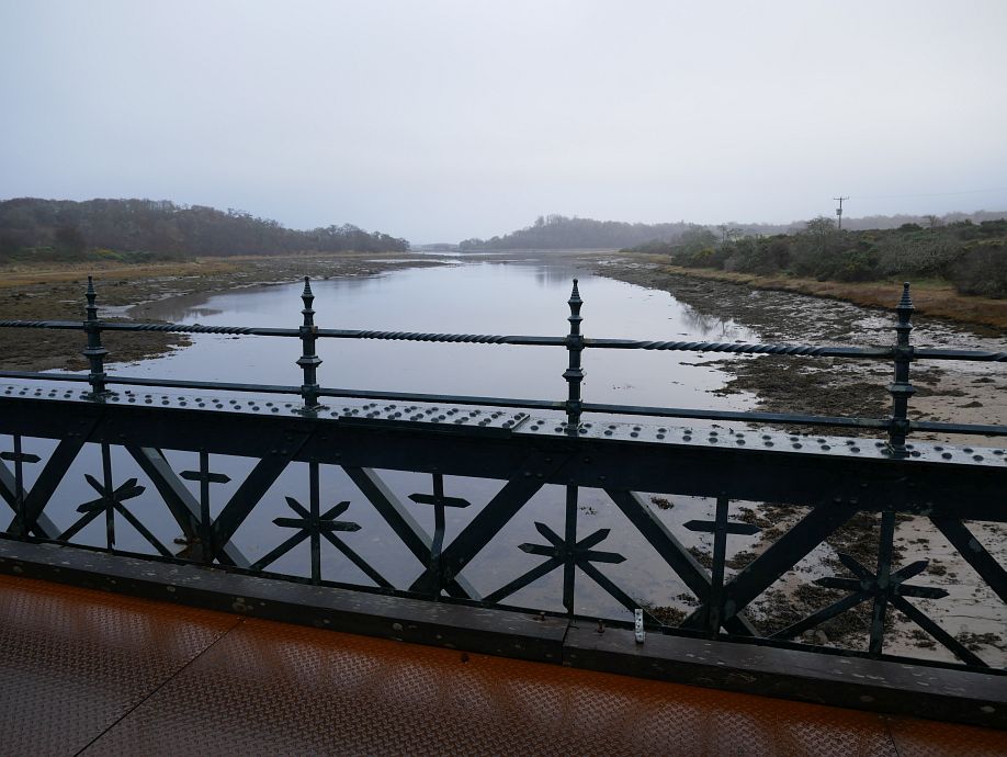
I had Amanda’s lovely boat again, but she kept her new paddle this time and I was happy with the old one. We tried to find the horse and otter sculptures (see Stage 5 and Stage 6 on Walkhighlands route) on the north-west side of Eriska and looked in the exact right area (just to the left/west of where we crossed from Airds Bay), but maybe you can’t see them from the water or they’re not there any more? The zoom ring on my Panasonic 12–32 lens came apart just after the last photo, which is a known and apparently self-fixable problem, but I’m not sure whether its impending detachment caused any issues with the pics, which looked less sharp than I’d have liked prior to resizing. So here we are approaching the bridge across An Doirlinn from the east:
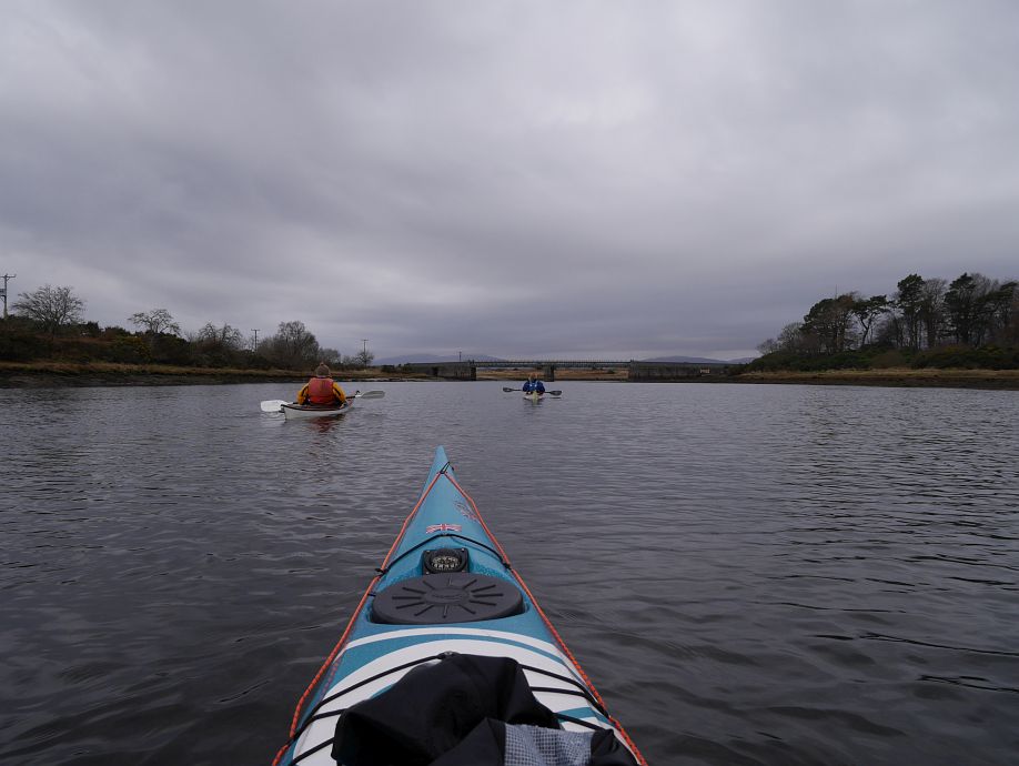
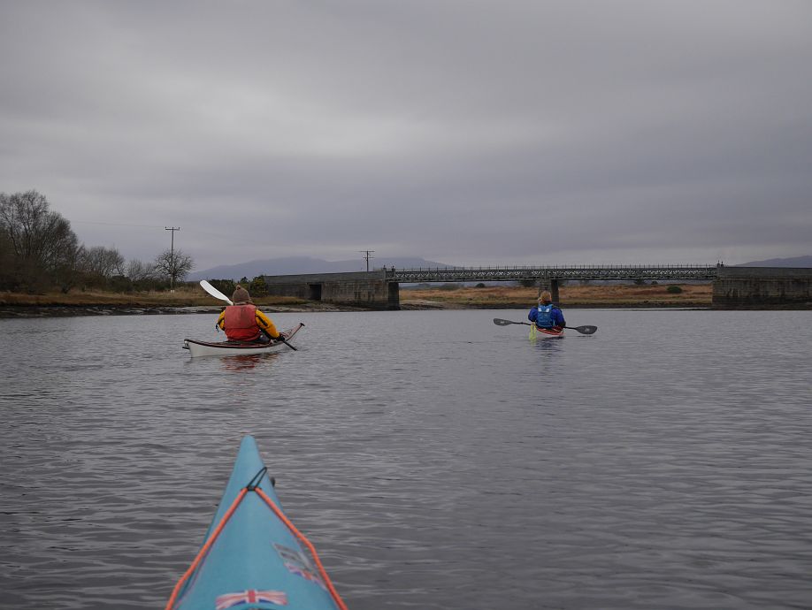
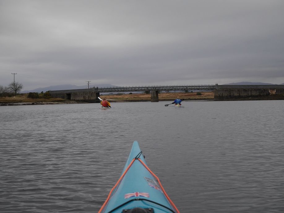
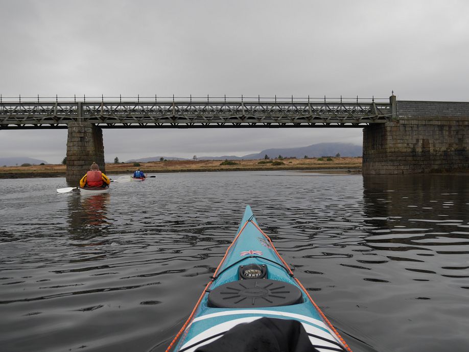
And west of the bridge:
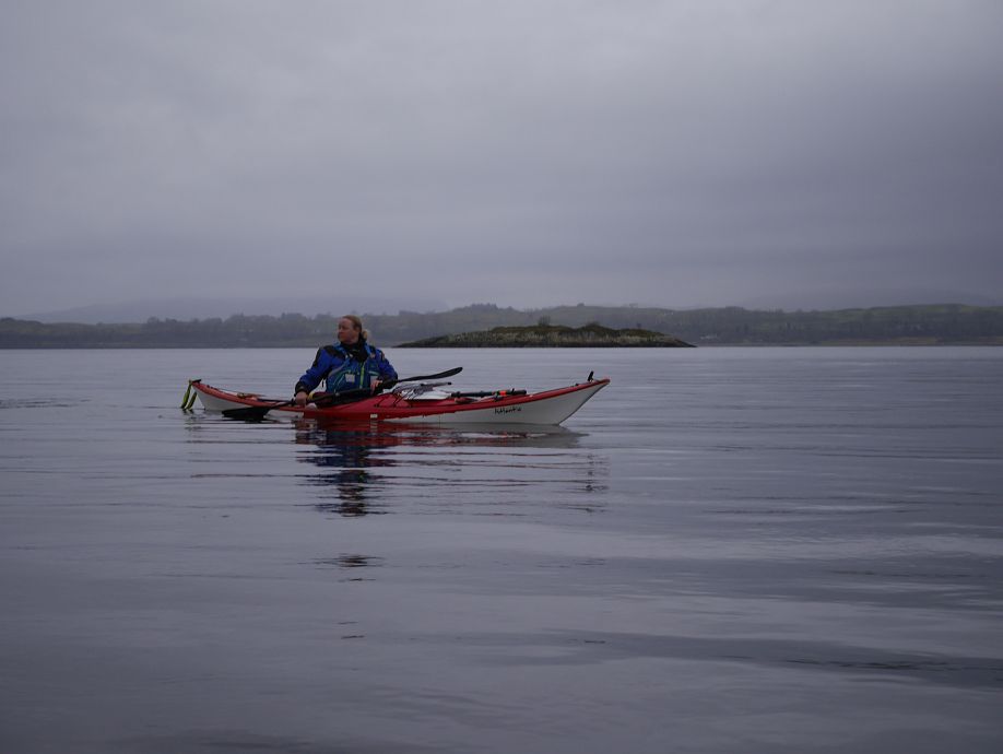
Amanda thinks she can get through here…
But finally backs off…
And follows us round!
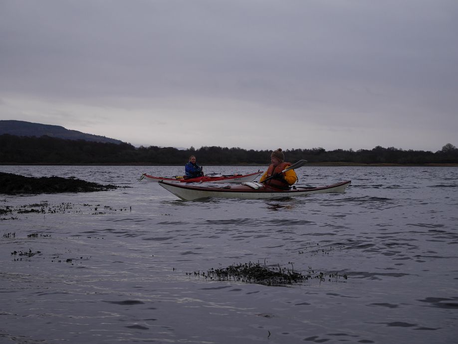
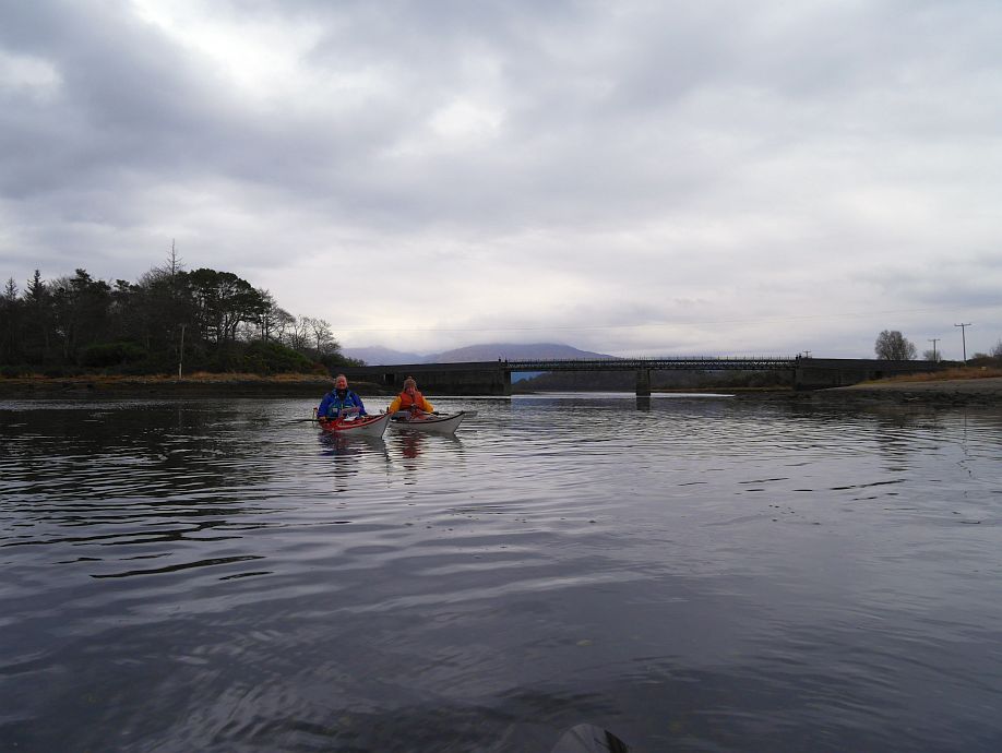
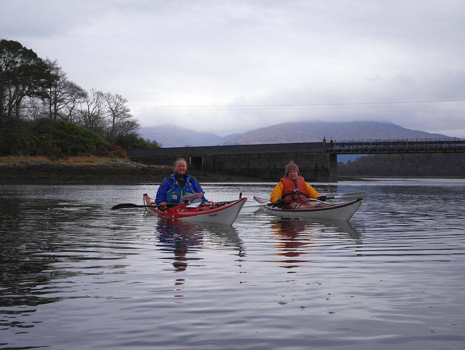
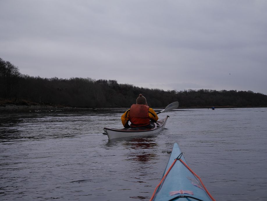
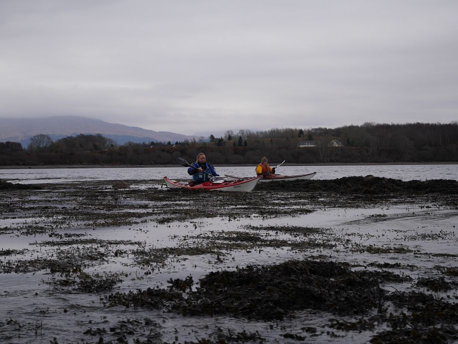
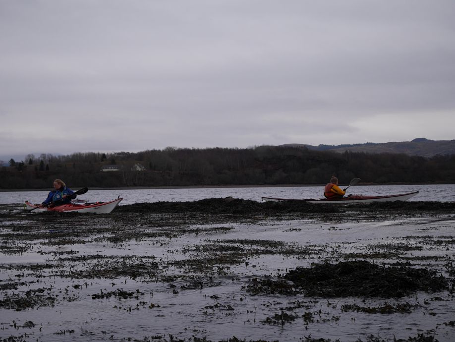
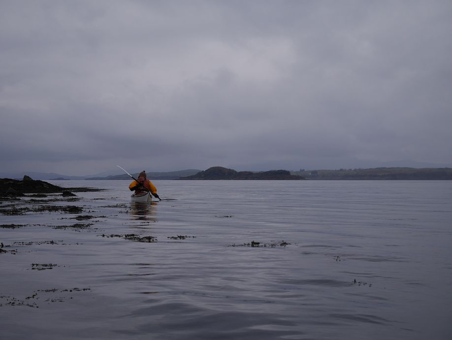
We head back up the Eriska shore for a sculpture hunt and food stop:
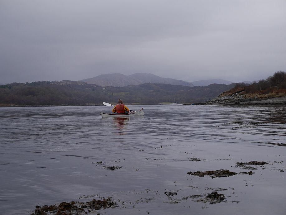
And back past Rubha Clach Tholl with its natural arch (part-visible right of final two photos):
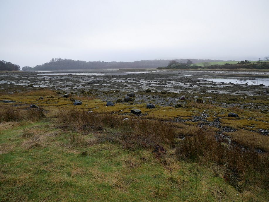
Now let’s talk about the tides and stuff. There were two things we just didn’t know and couldn’t find out:
- What height of tide you need to get through An Doirlinn, where neither charted drying heights nor Internet research including available kayak reports and location photographs without tidal specifics told us what we needed to know.
- How quickly the tide runs through there.
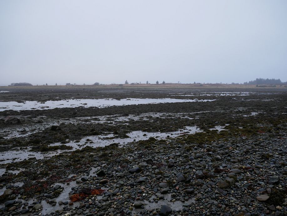
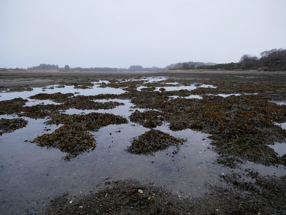
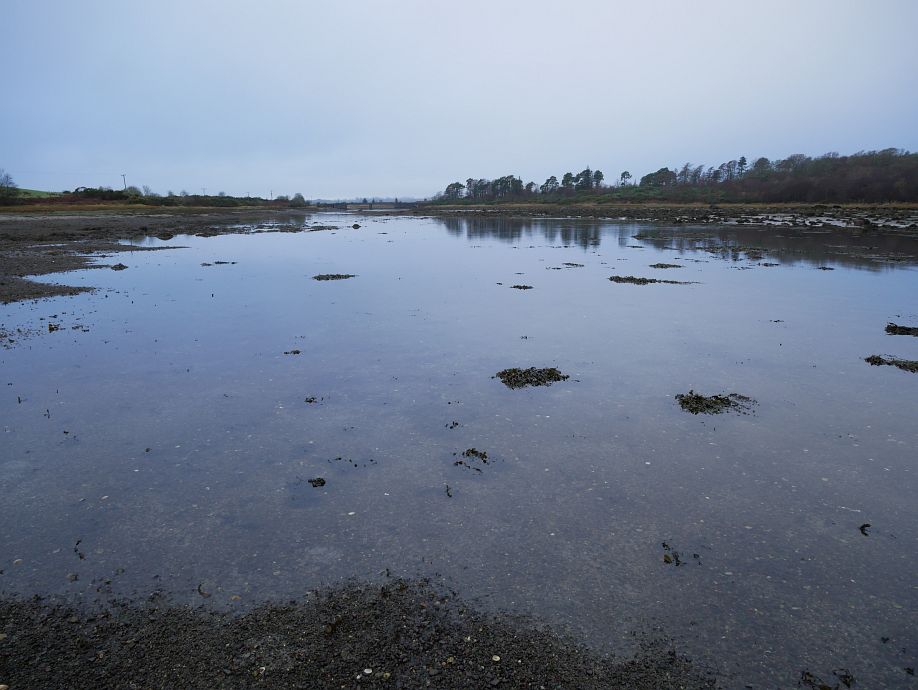
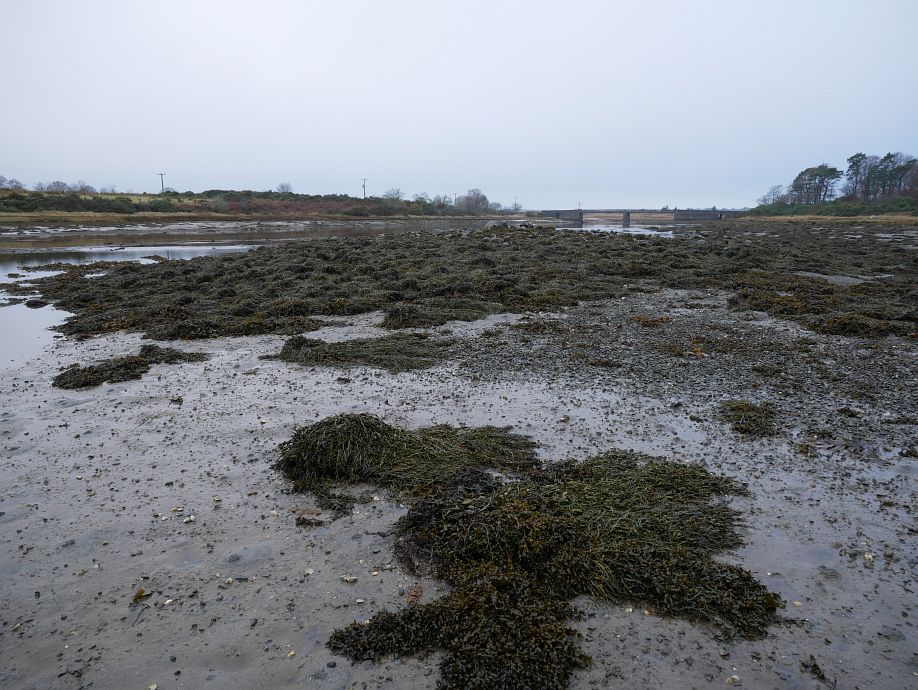
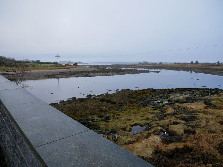
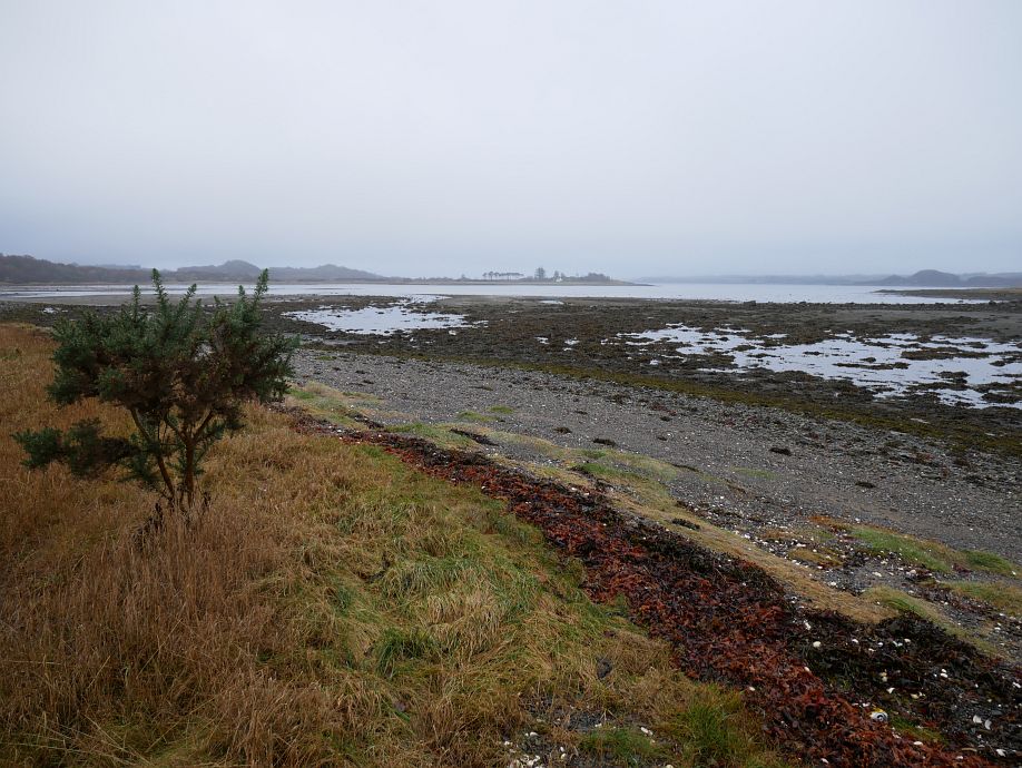
But the first was answerable by site inspection, so I went for a look at low tide (1.8m predicted height) on Friday and will post a thinned selection of my photos before sharing my conclusions. They start at the west end and follow my walk through to the east before crossing by the old crannog base, taking the Eriska shore to the bridge and crossing back to finish west again, but some are also further captioned:
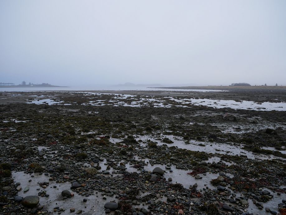
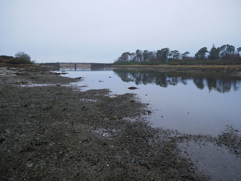
Bridge from the west:
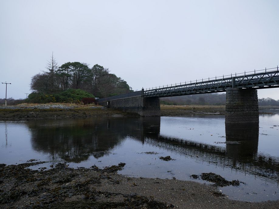
And from the east:
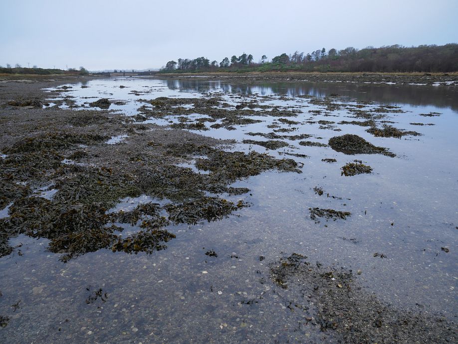
Poll nan Ron and east end, then Poll nan Ron and bridge from the east:
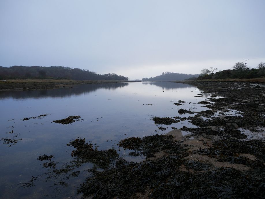
East end:
Poll nan Ron and bridge from the east:
Crannog base (mid-right in next photo), then looking east from crannog base:
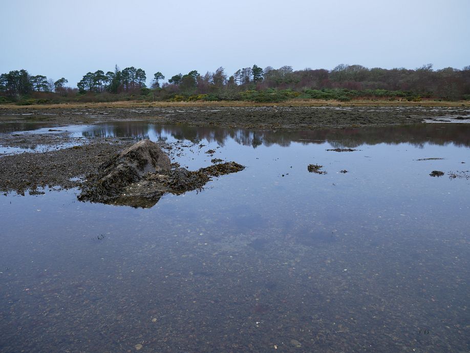
On the crannog base, then crannog base and bridge:
Looking over the crannog base, then heading back to the bridge:
Looking south-west from the bridge:
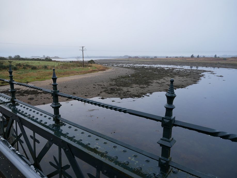
Then east from the bridge:
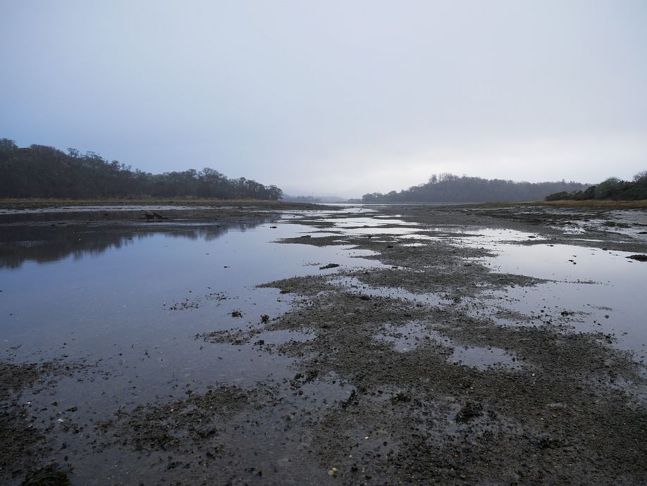
And back at the west end:
So what else do you need to know about the tide? The channel was discontinuous and broken into some isolated pools with a couple of places where water was still draining gently in opposite directions. There wasn’t much apparent change in the 65 minutes I was there (from just before low tide till about an hour after). If the 1.8m prediction was accurate, you need a fair bit more just to float and a bit more yet for the kind of margin where you’re not too concerned about every boulder or striking the bottom with your paddle, so I suggested we wanted about 2.5m or essentially mid-tide Saturday on a predicted range from 1.7m to 3.4m. Since you clearly need a certain depth for a comfortable passage and people do kayak round Eriska, the inevitably adverse current at the required state of tide must be manageable. But how did the theory actually stack up in practice?
Well, we were going through about three hours after low tide and a little less before high tide or, more tidily, just after half-tide. So had maybe 2.6m above datum if the predicted time and height were correct. And had a couple of feet (sorry, mixed units!) of water most of the way. Now, while predicted Oban half-tide heights for the immediate future are all in the 2.4-to-2.6m range, they can be lower, for example (from last year’s tables):
- 29 March 2021 12:32 0.4m 18:22 4.0m (range 3.6m, half-tide 2.2m).
- 5 April 2021 05:52 1.5m 12:41 2.6m (range 1.1m, half-tide 2.05m).
So, while half-tide seems a good general rule of thumb for Eriska and you can probably still get through without grounding on, say, 2.2m or so, there are also days like 5 April last year when a ‘half-tide’ rule probably won’t quite do! Remember too that predictions are only predictions and can be affected by various factors, which is why (while they’re good enough for almost everything) I’ve kept stressing ‘predicted’. As for tidal speed through An Doirlinn, we just didn’t find it an issue when it wasn’t running quickly, we were through in ten or fifteen minutes and the most significant current encountered all trip was crossing the stronger flood on the return from Eriska to Airds Point.
So there you have it (what Google wouldn’t tell me before); to do this trip through An Doirlinn you want tide height in the low-to-mid-2-metre range and will typically, but not always, be comfortable at something approaching half-tide. If I’m exploring again with or without a boat I can always comment further, but we’re already in the right ballpark. And it’s a good, fun trip with considerable interest along the way! :-)
Peter. Thank you for challenging me to get pen and paper out and charts and navigation rules down on paper.rule of 12’s and 1/3yds and 50/90 rule. Sea kayak leader navigation training put to the test! I was confident when we set of that we had sorted out the height of tide that we needed. I was more hesitant about the strength of flow at the far end of the passage as we met the incoming tide. Having read the walking article again I think the otter was the other side of the seat perhaps. But hopefully there for another day! Apologies for not sharing paddles too I set off with the intention of swapping but then for some reason forgot!
Comment by Amanda spavin — 16 January 2022 @ 10:53 pm
No need to apologise for keeping your own paddle when I feel guilty enough about hogging your boat, Amanda! It never even occurred to me that you weren’t keeping it for the day this time…
Comment by admin — 16 January 2022 @ 10:57 pm