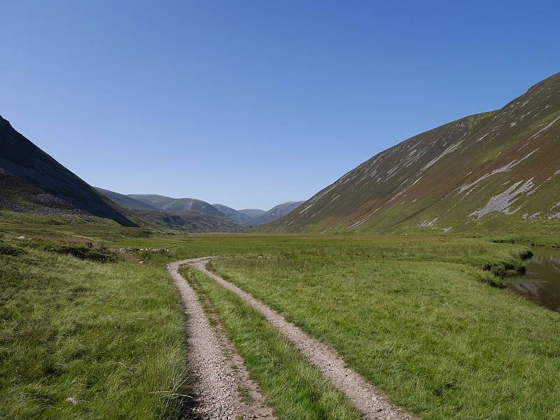
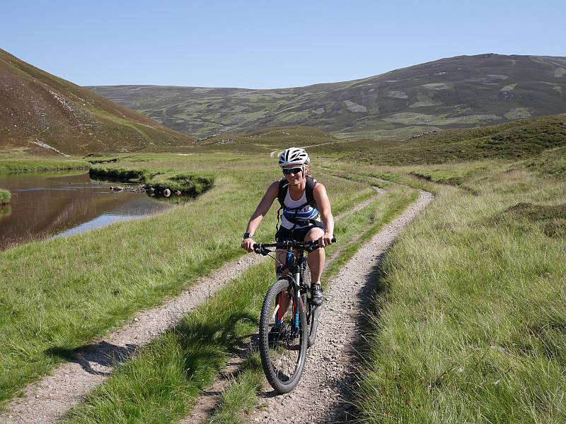
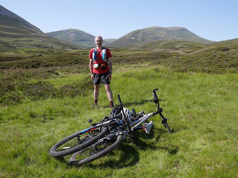
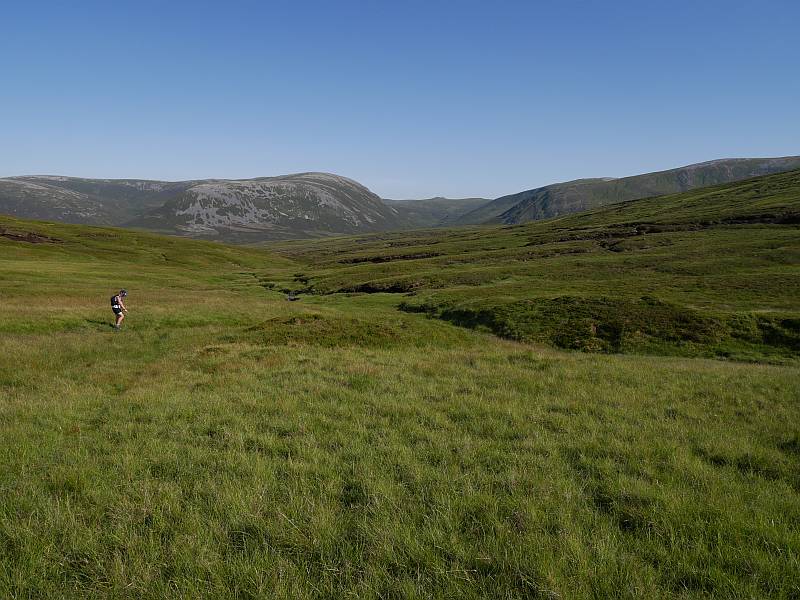
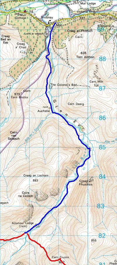
Till 10:00pm Wednesday we were going to mop up the Munros and Tops on either side of Glen Shee. But Marie quite likes cycling, I stumbled over a tempting photo of Glen Ey (not unlike my first one here) in the SMC Munros book, and taking the bikes to get the other ‘batch’ of Glen Shee Ms & Ts suddenly seemed like a good idea. So I got straight on the phone (‘need the bikes after all, take my van instead of your car, is that OK?’) and, with ‘bikes’ being exactly what Marie wanted to hear, that’s exactly what we did! And Glen Ey’s a great wee ride… good track, easy going, doesn’t feel conspicuously uphill on the way in but finally shines with flowing delight on a fast return with 180m of height to lose over not quite six miles.
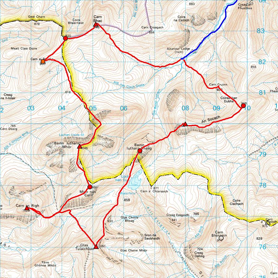
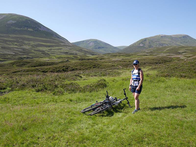
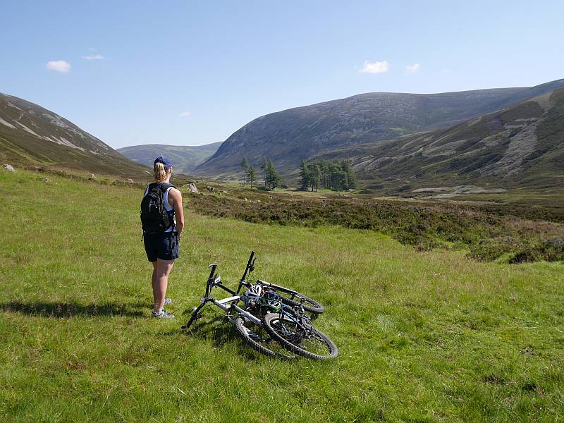
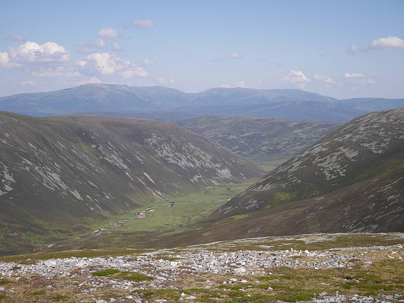
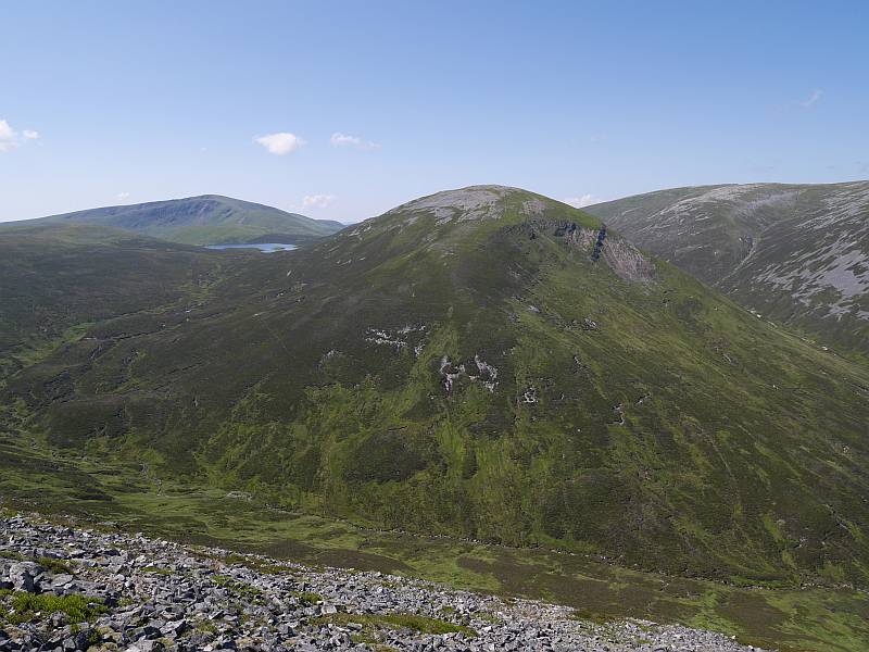
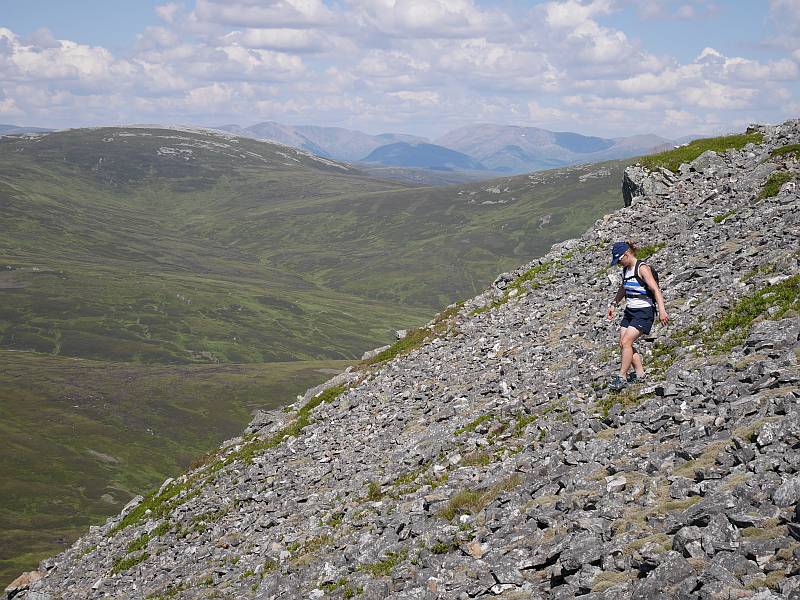
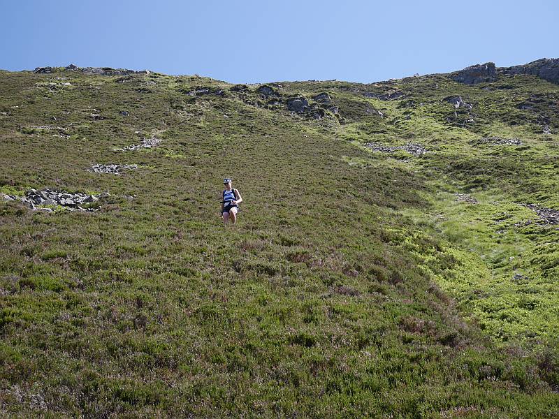
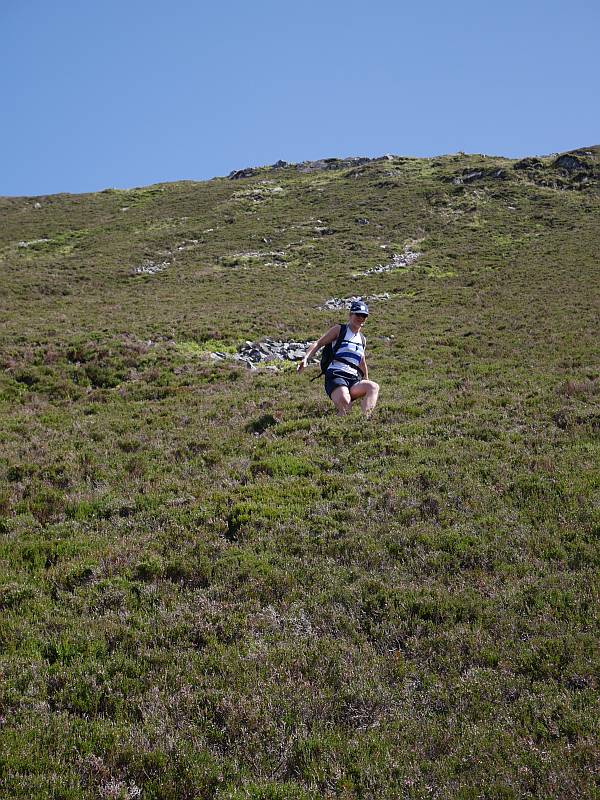
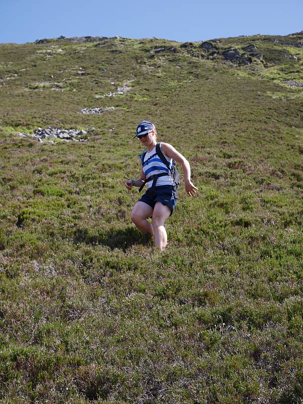
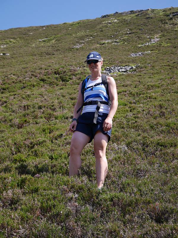
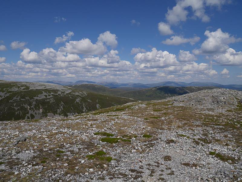
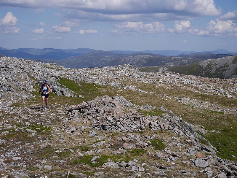
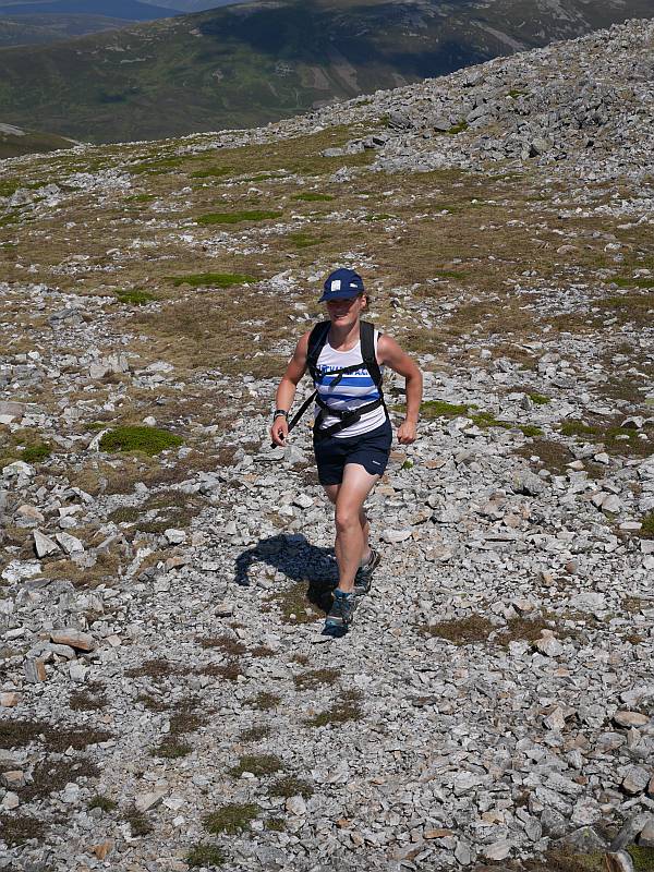
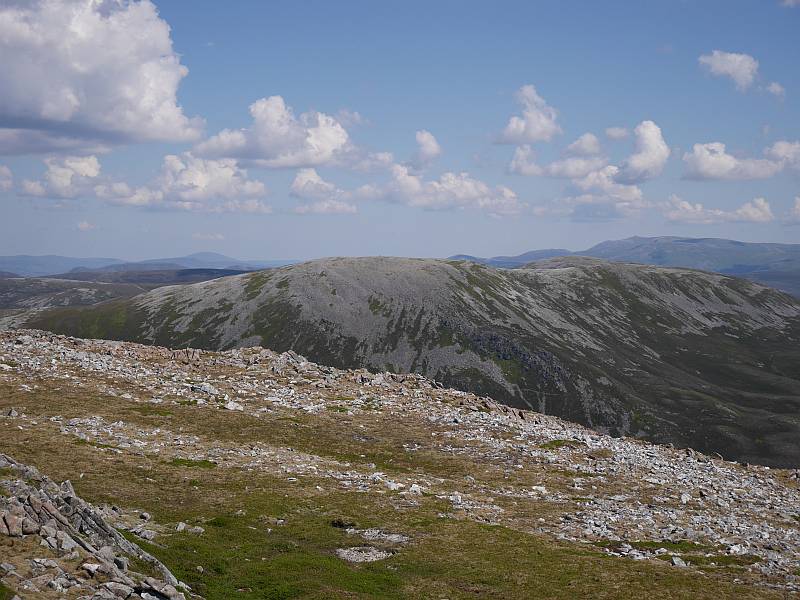
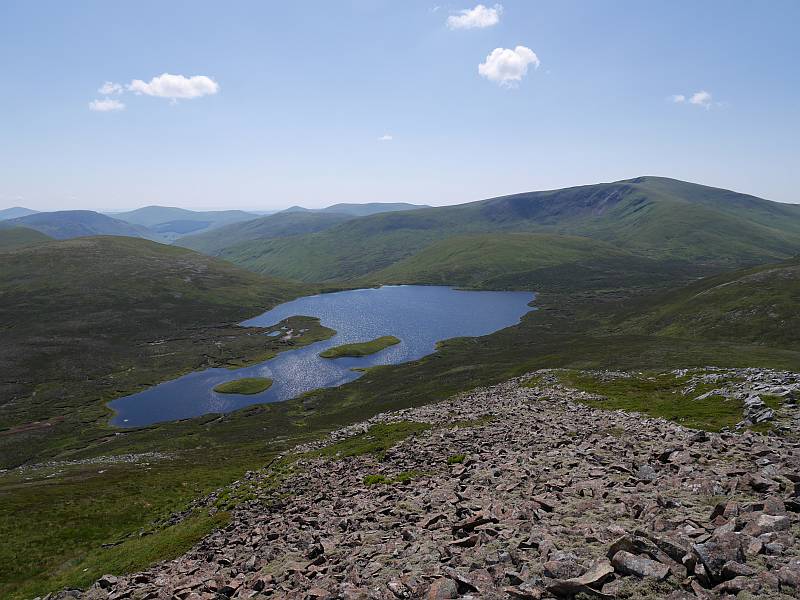
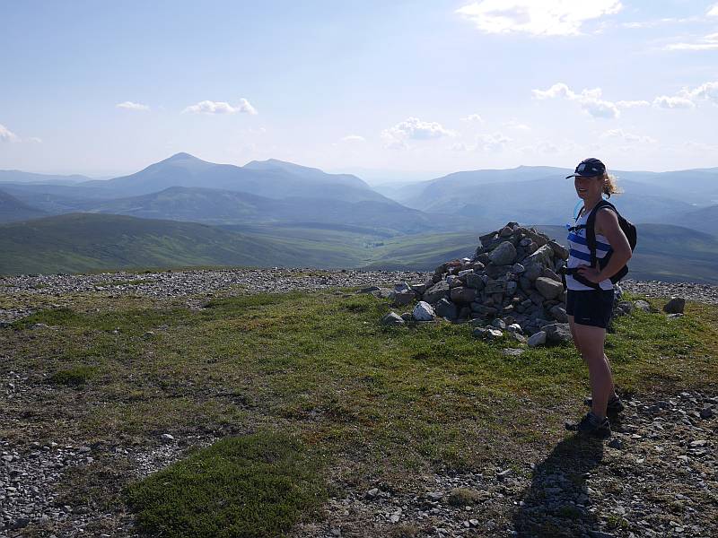
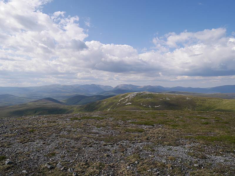
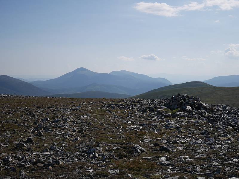
As for the surrounding hills, well, they’re OK. Easy-going Eastern puddings, not numbered among the country’s greatest peaks but not devoid of attractive features like the sparkling Loch nan Eun, and still blessed by great views of the Cairngorms (continous prospect of the southern skyline with a good three-quarters of the 18 full Munros identifiable from some points), Lochnagar and Beinn a’ Ghlo. And we got our routing spot-on in for once in terms of economy, taking the cue from Butterfield to link Beinn Iutharn Bheag straight to Glas Tulaichean rather than its ‘parent’ peak of Beinn Iutharn Mhor, but ignoring his curious anticlockwise figure-of-eight progression from An Socach to Carn Bhac (later logically attributed to his recommendation to ‘climb An Socach first, bivouac in the soft grass near the ruins of Altanour Lodge and take in the other hills on the following day’) in favour of the steep drop WSW off An Socach for a clockwise round. On which note, having visually estimated this slope at 35–40°, I was later pleased to confirm the steepest part (craggy ground at tops of photos in sequence starting with marie5.jpg) with map and calculator to hand at c.37.6°!
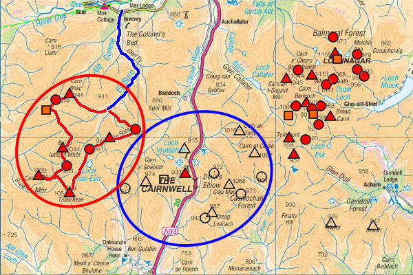
So we did the peaks ringed red on Map 3 rather than those ringed blue, but it’s ultimately six-and-half-a-dozen (or perhaps five-and-half-a-dozen here!) when I need them all and, apart from some continued unease at numbering the desecrated nonentity of The Cairnwell as my sole ‘conquest’ (well, at least I did it on foot!) of that central group, if anything leaves things in a more convenient state for polishing off than the other way round.
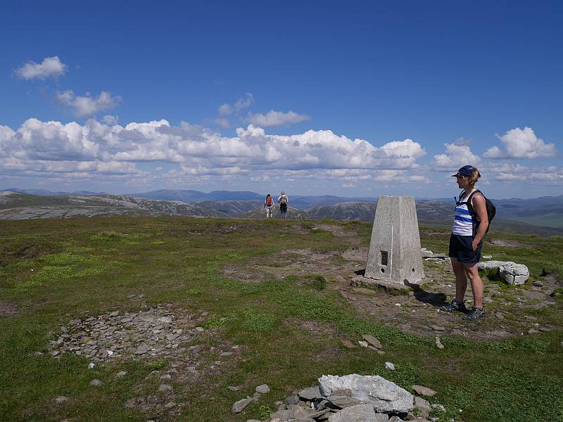
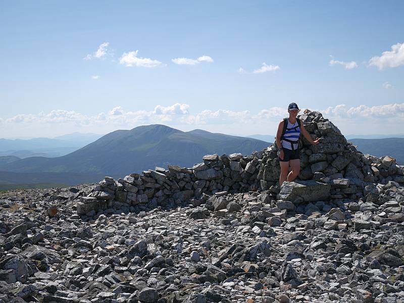
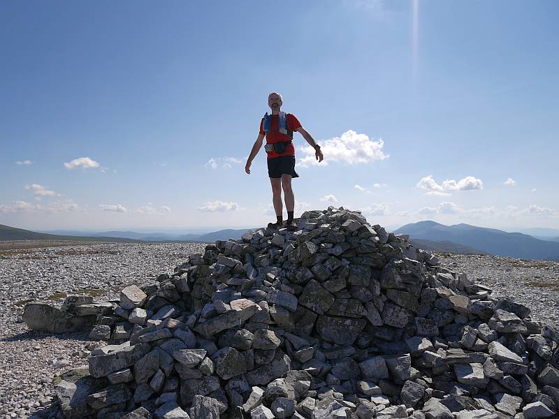
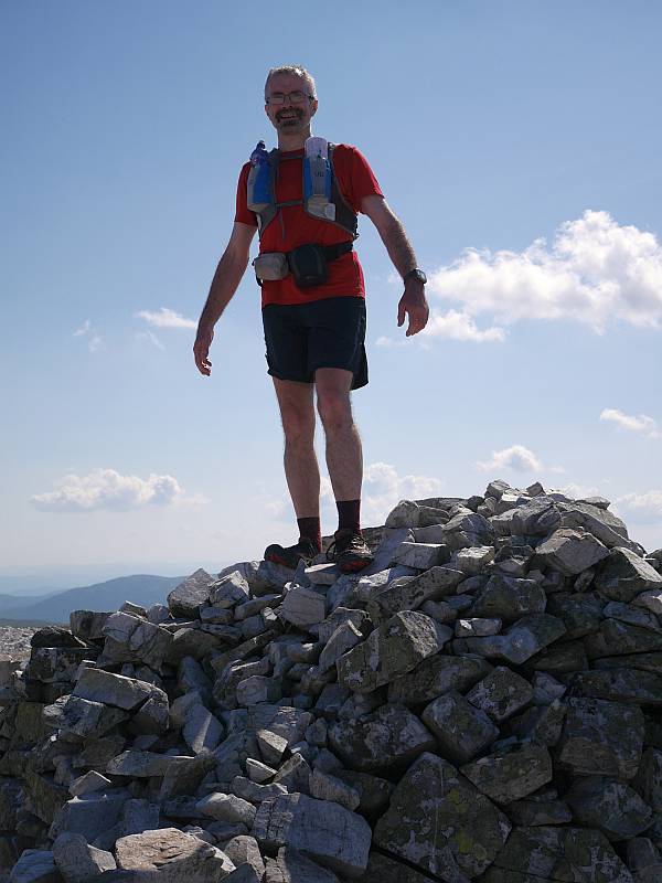
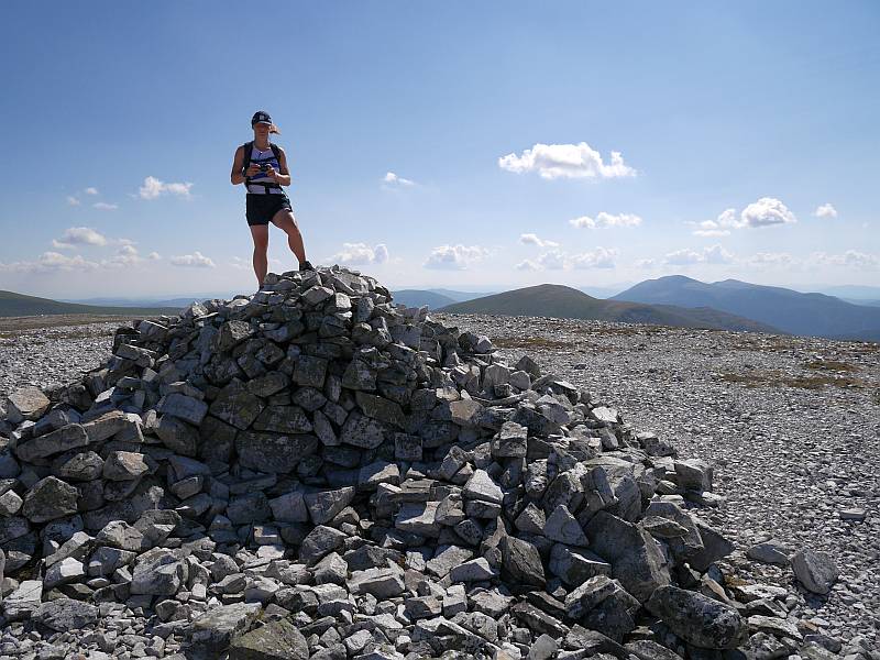
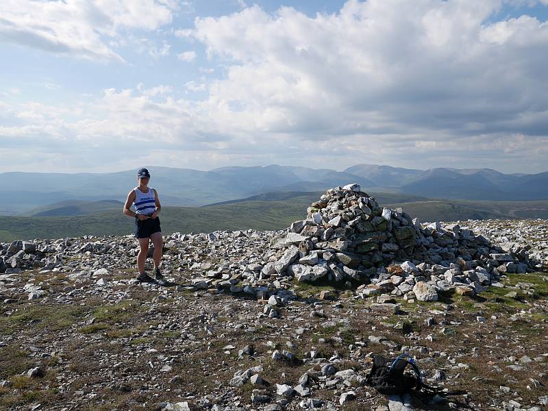
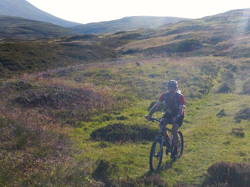
While most of the following photos (whether taken by me or Marie) came from my camera, the final shot of me on my bike is one of Marie’s.